Old Cumbria Gazetteer
 |
 |
|
||
| Barrow Beck | ||||
| runs into:- |  Glenderamackin, River Glenderamackin, River |
|||
|
|
||||
| civil parish:- | Mungrisdale (formerly Cumberland) | |||
| county:- | Cumbria | |||
| locality type:- | river | |||
| 1Km square:- | NY3729 | |||
| 10Km square:- | NY32 | |||
|
|
||||
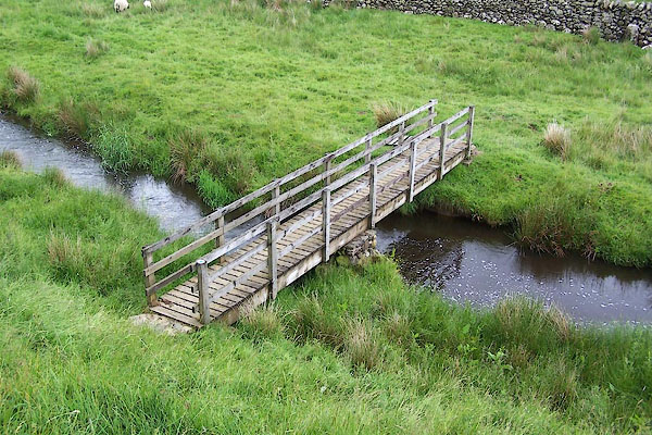
 BNV12.jpg At footbridge. (taken 16.6.2007)  BNV16.jpg At footbridge. (taken 16.6.2007) |
||||
|
|
||||
| evidence:- | old map:- OS County Series (Cmd 57 6) placename:- Barrow Beck |
|||
| source data:- | Maps, County Series maps of Great Britain, scales 6 and 25
inches to 1 mile, published by the Ordnance Survey, Southampton,
Hampshire, from about 1863 to 1948. |
|||
|
|
||||
| evidence:- | old map:- Gents Mag 1747 placename:- Barrow Water |
|||
| source data:- | Map, uncoloured engraving, perspective view, Caudbeck Fells ie
Caldbeck Fells, scale about 1+ miles to 1 inch, published in the
Gentleman's Magazine, 1747.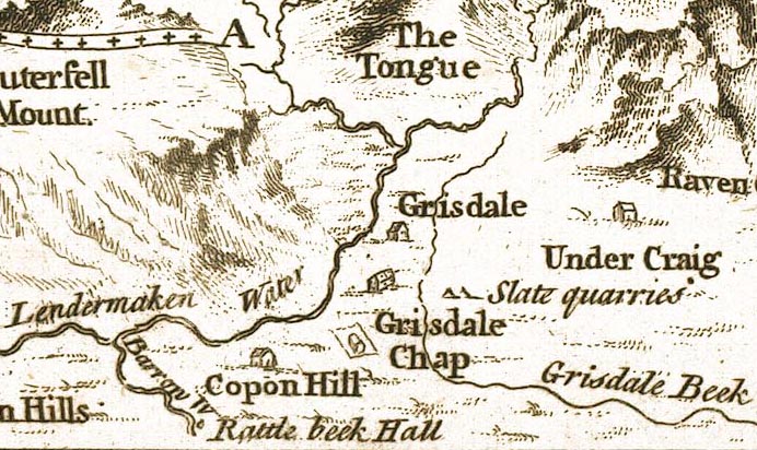 GM1403.jpg "Barrow W" tapering wiggly line item:- Carlisle Library : Map 43 Image © Carlisle Library |
|||
|
|
||||
| places:- |
|
|||
|
||||
Lakes Guides menu.