 |
 |
   |
|
|
|
Abbey Town |
| civil parish:- |
Holme Abbey (formerly Cumberland) |
| county:- |
Cumbria |
| locality type:- |
locality |
| locality type:- |
buildings |
| locality type:- |
selected place |
| coordinates:- |
NY17655081 (etc) |
| 1Km square:- |
NY1750 |
| 10Km square:- |
NY15 |
| latitude; longitude:- |
3d 16.9m W; 54d 50.7m N |
|
|
|
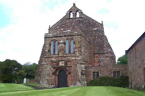
BNV91.jpg (taken 20.6.2007)
|
|
|
| evidence:- |
old map:- Saxton 1579
placename:- Holme
|
| source data:- |
Map, hand coloured engraving, Westmorlandiae et Cumberlandiae Comitatus ie Westmorland
and Cumberland, scale about 5 miles to 1 inch, by Christopher Saxton, London, engraved
by Augustinus Ryther, 1576, published 1579-1645.
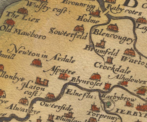
Sax9NY14.jpg
Church, symbol for a parish or village, with a parish church. "Holme"
item:- private collection : 2
Image © see bottom of page
|
|
|
| evidence:- |
old map:- Mercator 1595 (edn?)
placename:- Holme
|
| source data:- |
Map, hand coloured engraving, Northumbria, Cumberlandia, et
Dunelmensis Episcopatus, ie Northumberland, Cumberland and
Durham etc, scale about 6.5 miles to 1 inch, by Gerard Mercator,
Duisberg, Germany, about 1595.
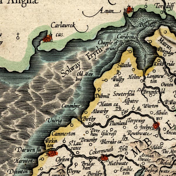
MER8CumB.jpg
"Holme"
circle
item:- JandMN : 169
Image © see bottom of page
|
|
|
| evidence:- |
old map:- Speed 1611 (Cmd)
placename:- Holme
|
| source data:- |
Map, hand coloured engraving, Cumberland and the Ancient Citie
Carlile Described, scale about 4 miles to 1 inch, by John Speed,
1610, published by J Sudbury and George Humble, Popes Head
Alley, London, 1611-12.
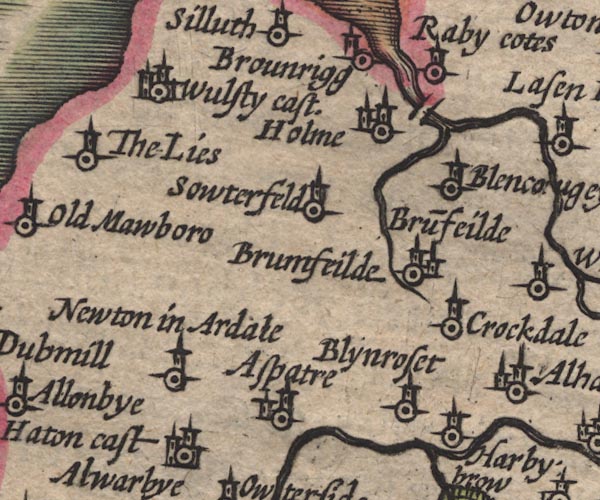
SP11NY14.jpg
"Holme"
circle, building, tower
item:- private collection : 16
Image © see bottom of page
|
|
|
| evidence:- |
old map:- Seller 1694 (Cmd)
placename:- Holme
|
| source data:- |
Map, uncoloured engraving, Cumberland, scale about 12 miles to 1
inch, by John Seller, 1694.
 click to enlarge click to enlarge
SEL9.jpg
"Holme"
circle, italic lowercase text; settlement or house
item:- Dove Cottage : 2007.38.89
Image © see bottom of page
|
|
|
| evidence:- |
probably old map:- Morden 1695 (EW)
placename:- Holm
|
| source data:- |
Map, hand coloured engraving, England, including Wales, scale
about 27 miles to 1 inch, by Robert Morden, published by Abel
Swale Awnsham and John Churchil, London, about 1695.
 click to enlarge click to enlarge
MRD3Cm.jpg
"Holm"
circle; village or town
item:- JandMN : 339
Image © see bottom of page
|
|
|
| evidence:- |
old map:- Morden 1695 (Cmd)
placename:- Holm Cultrum
|
| source data:- |
Map, uncoloured engraving, Cumberland, scale about 4 miles to 1
inch, by Robert Morden, 1695, published by Abel Swale, the
Unicorn, St Paul's Churchyard, Awnsham, and John Churchill, the
Black Swan, Paternoster Row, London, 1695-1715.
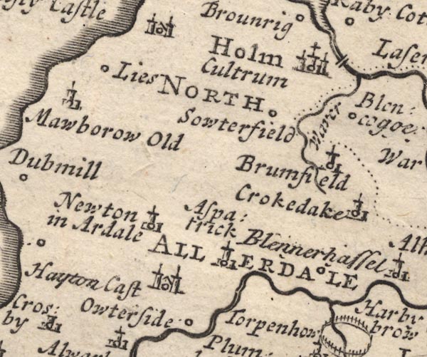
MD12NY14.jpg
"Holm Cultrum"
Circle, buildings, towers, with a cross; the first word upright, the second italic.
item:- JandMN : 90
Image © see bottom of page
|
|
|
| evidence:- |
old map:- Badeslade 1742
placename:- Holm
|
| source data:- |
Map, uncoloured engraving, A Map of Cumberland North from
London, scale about 11 miles to 1 inch, with descriptive text,
by Thomas Badeslade, London, engraved and published by William
Henry Toms, Union Court, Holborn, London, 1742.
 click to enlarge click to enlarge
BD10.jpg
"Holm"
circle, tower/s, upright lowercase text; town
item:- JandMN : 115
Image © see bottom of page
|
|
|
| evidence:- |
probably old map:- Bickham 1753-54 (Cmd)
placename:- Holm
|
| source data:- |
Map, uncoloured engraving, perspective map, Map of Cumberland
North from London, by George Bickham, James Street, Bunhill
Fields, London, 1753, published by F Jollie and Sons, Carlisle,
Cumberland, 1811.
 click to enlarge click to enlarge
JL05.jpg
"Holm"
view (sort of)
item:- Carlisle Library : 4.2
Image © Carlisle Library |
|
|
| evidence:- |
old map:- Bowen and Kitchin 1760
placename:- Holme Cultraim
|
| source data:- |
Map, hand coloured engraving, A New Map of the Counties of
Cumberland and Westmoreland Divided into their Respective Wards,
scale about 4 miles to 1 inch, by Emanuel Bowen and Thomas
Kitchin et al, published by T Bowles, Robert Sayer, and John
Bowles, London, 1760.
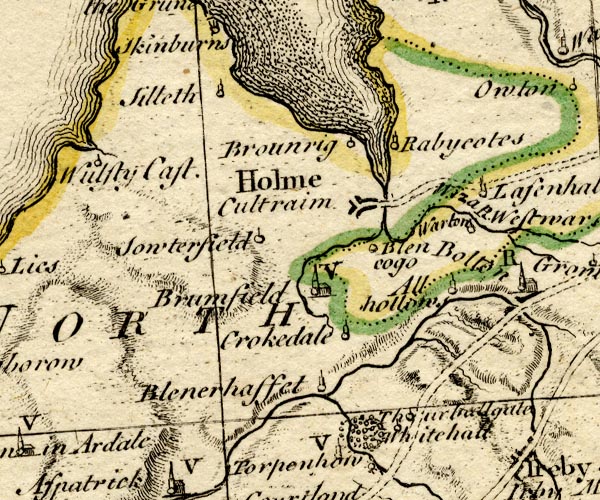
BO18NY14.jpg
"Holme Cultraim"
blocks, town, at end of road
item:- Armitt Library : 2008.14.10
Image © see bottom of page
|
|
|
| evidence:- |
old map:- Donald 1774 (Cmd)
placename:- Abbey Holm
|
| source data:- |
Map, hand coloured engraving, 3x2 sheets, The County of Cumberland, scale about 1
inch to 1 mile, by Thomas Donald, engraved and published by Joseph Hodskinson, 29
Arundel Street, Strand, London, 1774.
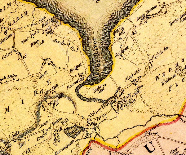
D4NY15SE.jpg
"Abbey Holm"
blocks, and usually a church, labelled in upright lowercase; a village
item:- Carlisle Library : Map 2
Image © Carlisle Library |
|
|
| evidence:- |
old map:- Donald 1774 (Cmd)
placename:- Abbey Holm
|
| source data:- |
Map, hand coloured engraving, 3x2 sheets, The County of Cumberland, scale about 1
inch to 1 mile, by Thomas Donald, engraved and published by Joseph Hodskinson, 29
Arundel Street, Strand, London, 1774.
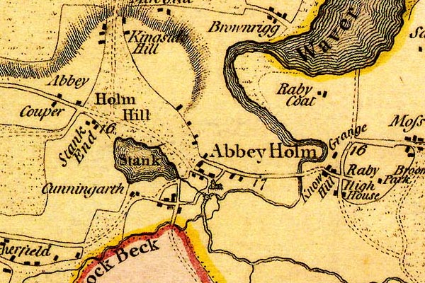
DN04AbTw.jpg
"Abbey Holm"
blocks, and usually a church, labelled in upright lowercase; a village
item:- Carlisle Library : Map 2
Image © Carlisle Library |
|
|
| evidence:- |
old map:- Pennant 1777
placename:- Holm
|
| source data:- |
Map, hand coloured engraving, A Map of Scotland, Hebrides and
Part of England, drawn for Thomas Pennant, engraved by J Bayly,
published by Benjamin White, London, 1777.
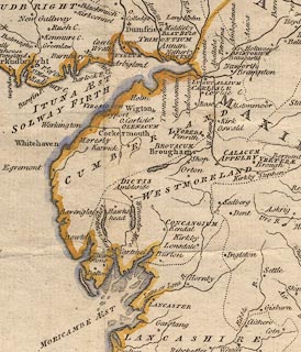 click to enlarge click to enlarge
PEN1Cm.jpg
"Holm"
circle; buildings, village, etc
item:- private collection : 66
Image © see bottom of page
|
|
|
| evidence:- |
old map:- Bailey 1797
placename:- Holm Abbey
|
| source data:- |
Map, soil etc, uncoloured engraving, Cumberland, scale about 21
miles to 1 inch, by J Bailey, engraved by Neele, Strand,
published by Messrs Robinson, Paternoster Row and G Nicol, Pall
Mall, London, 1797.
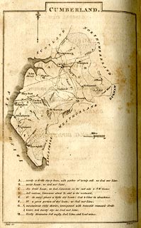 click to enlarge click to enlarge
BY04.jpg
"Holm Abbey"
no symbol
item:- Armitt Library : A680.2
Image © see bottom of page
|
|
|
| evidence:- |
road book:- Cary 1798 (2nd edn 1802)
placename:- Abbey Holme
|
| source data:- |
Road book, itineraries, Cary's New Itinerary, by John Cary, 181
Strand, London, 2nd edn 1802.
 goto source goto source
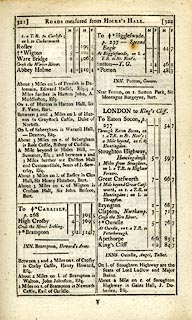 click to enlarge click to enlarge
C38321.jpg
page 321-322 "Abbey Holme"
item:- JandMN : 228.1
Image © see bottom of page
|
|
|
| evidence:- |
old map:- Cooke 1802
placename:- Holm Abbey
|
| source data:- |
Map, Cumberland, scale about 15.5 miles to 1 inch, by George
Cooke, 1802, bound in Gray's New Book of Roads, 1824, published
by Sherwood, Jones and Co, Paternoster Road, London, 1824.
 click to enlarge click to enlarge
GRA1Cd.jpg
"Holm Abbey / 308"
blocks, upright lowercase text; town, distance from London
item:- Hampshire Museums : FA2000.62.2
Image © see bottom of page
|
|
|
| evidence:- |
old map:- Laurie and Whittle 1806
placename:- Abbey Holme
|
| source data:- |
Road map, Completion of the Roads to the Lakes, scale about 10
miles to 1 inch, by Nathaniel Coltman? 1806, published by Robert
H Laurie, 53 Fleet Street, London, 1834.
 click to enlarge click to enlarge
Lw18.jpg
"Abbey Holme 310½"
village or other place; distance from London
item:- private collection : 18.18
Image © see bottom of page
|
|
|
| evidence:- |
old text:- Capper 1808
placename:- Abbey Holm
placename:- Holm Coultram
item:- population; market
|
| source data:- |
Gazetteer, A Topographical Dictionary of the United Kingdom,
compiled by Benjamin Pitts Capper, published by Richard
Phillips, Bridge Street, Blackfriars, London, 1808; published
1808-29.
 goto source goto source
"..."
"ABBEY-HOLM, or HOLM-CULTRAM, a parish and market-town in the division of Allerdale ward, Cumberland, 4 miles from Wigton, and 309 from London; containing 428 houses and 2187 inhabitants, of whom 250 were returned employed in trade. The parish is divided into four townships, was formerly of great repute, and had a stately abbey, founded by David I. king of Scotland, who resided chiefly in Cumberland. The church is dedicated to St. Mary, and is a vicarage, value, 6l. 13s. 4d. Patron, the University of Oxford. The town is pleasantly situated on the river Waver, near Solway Frith. About 5 miles distant from the sea-shore are the vestiges of an ancient castle, built by the abbots of Holm-Cultram, for securing their books and charters from the depredations of the Scots. Here formerly was a good market on Saturday, now almost in disuse. Houseman's Description of Cumberland."
"..."
|
|
|
| evidence:- |
probably old map:- Cooper 1808
placename:- Holm Cultram
|
| source data:- |
Map, uncoloured engraving, Cumberland, scale about 10.5 miles to
1 inch, drawn and engraved by Cooper, published by R Phillips,
Bridge Street, Blackfriars, London, 1808.
 click to enlarge click to enlarge
COP3.jpg
"Holm Cultram"
circle; village or hamlet
item:- JandMN : 86
Image © see bottom of page
|
|
|
| evidence:- |
old map:- Wallis 1810 (Cmd)
placename:- Abbey Holme
|
| source data:- |
Road map, hand coloured engraving, Cumberland, scale about 16
miles to 1 inch, by James Wallis, 77 Berwick Stree, Soho,
London, 1810.
 click to enlarge click to enlarge
WL13.jpg
"Abbey Holme / 305"
town; distance from London
item:- Dove Cottage : 2009.81.10
Image © see bottom of page
|
|
|
| evidence:- |
old map:- Hall 1820 (Cmd)
placename:- Holme Coultram
|
| source data:- |
Map, hand coloured engraving, Cumberland, scale about 21 miles
to 1 inch, engraved by Sidney Hall, published by S Leigh, 18
Strand, London, 1820-31.
 click to enlarge click to enlarge
HA14.jpg
"Holme Coultram"
circle, italic lowercase text; settlement
item:- JandMN : 91
Image © see bottom of page
|
|
|
| evidence:- |
old map:- Perrot 1823
placename:- Holm
|
| source data:- |
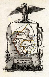
Map, hand coloured engraving, Cumberland and Westmoreland ie
Westmorland, scale about 38 miles to 1 inch, by Aristide Michel
Perrot, engraved by Migneret, 1823, published by Etienne Ledoux,
9 Rue Guenegaud, Paris, France, 1824-48.
 click to enlarge click to enlarge
PER2.jpg
"Holm"
circle; town
item:- Dove Cottage : 2007.38.45
Image © see bottom of page
|
|
|
| evidence:- |
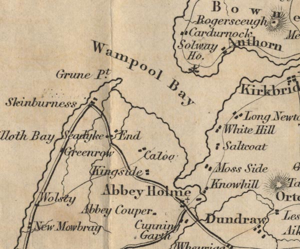
presumably old map:- Ford 1839 map
placename:- Abbey Holme
|
| source data:- |
Map, uncoloured engraving, Map of the Lake District of
Cumberland, Westmoreland and Lancashire, scale about 3.5 miles
to 1 inch, published by Charles Thurnam, Carlisle, and by R
Groombridge, 5 Paternoster Row, London, 3rd edn 1843.
FD02NY15.jpg
"Abbey Holme"
item:- JandMN : 100.1
Image © see bottom of page
|
|
|
| evidence:- |
old map:- Garnett 1850s-60s H
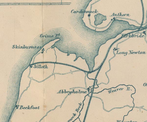
placename:- Abbeyholme
|
| source data:- |
Map of the English Lakes, in Cumberland, Westmorland and
Lancashire, scale about 3.5 miles to 1 inch, published by John
Garnett, Windermere, Westmorland, 1850s-60s.
GAR2NY15.jpg
"Abbeyholme"
blocks, settlement
item:- JandMN : 82.1
Image © see bottom of page
|
|
|
| evidence:- |
old map:- Post Office 1850s-1900s
placename:- Abbey Town
|
| source data:- |
Post road maps, General Post Office Circulation Map for England
and Wales, for the General Post Office, London, 1850s-1900s.
 click to enlarge click to enlarge
PF10Cm.jpg
"Abbey Town"
map date 1892
|
|
|
| evidence:- |
old map:- Post Office 1850s-1900s
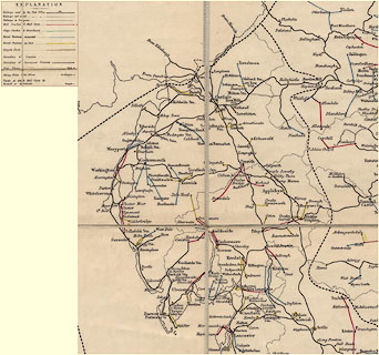
placename:- Abbey Town
|
| source data:- |
Post road maps, General Post Office Circulation Map for England
and Wales, for the General Post Office, London, 1850s-1900s.
 click to enlarge click to enlarge
POF2Cm.jpg
"Abbey Town"
map date 1890
|
|
|
| evidence:- |
old map:- Post Office 1850s-1900s
placename:- Abbey Town
|
| source data:- |
Post road maps, General Post Office Circulation Map for England
and Wales, for the General Post Office, London, 1850s-1900s.
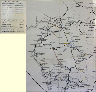 click to enlarge click to enlarge
POF8Cm.jpg
"Abbey Town / Stn."
map date 1873
|
|
|
| evidence:- |
old map:- Post Office 1850s-1900s
placename:- Abbey Town
|
| source data:- |
Post road maps, General Post Office Circulation Map for England
and Wales, for the General Post Office, London, 1850s-1900s.
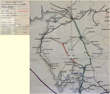 click to enlarge click to enlarge
POF9Cm.jpg
"Abbey Town / Stn."
map date 1863
|
|
|
:-
|
images courtesy of the British Postal Museum and Hampshire CC Museums
|
|
|
| places:- |
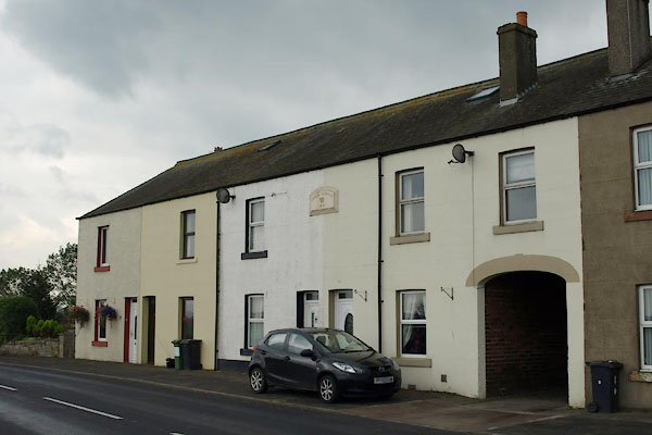 |
NY17585035 Abbey Terrace (Holme Abbey) |
|
|
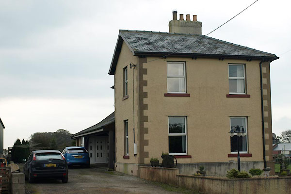 |
NY17445088 Abbey Town Station (Holme Abbey) |
|
|
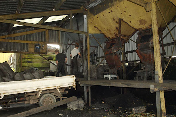 |
NY17365087 Ferguson Fuels coal yard (Holme Abbey) |
|
|
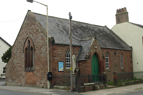 |
NY17275075 Abbeytown Methodist Chapel (Holme Abbey) |
|
|
 |
NY17815103 Applegarth (Holme Abbey) |
|
|
 |
NY17095013 Cunning Garth (Holme Abbey) |
|
|
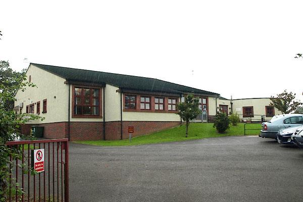 |
NY17135079 Holme Coultram Abbey CofE Primary School (Holme Abbey) |
|
|
 |
NY17035106 Holme Cultram House (Holme Abbey) L |
|
|
 |
NY1750 hospital, Abbey Town (Holme Abbey) |
|
|
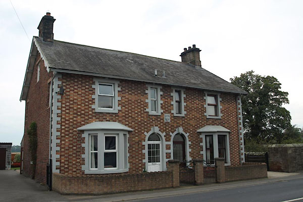 |
NY17425064 house, Abbey Town (Holme Abbey) |
|
|
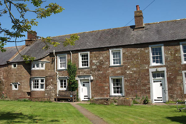 |
NY17735069 Mill Grove (Holme Abbey) L |
|
|
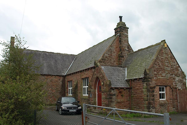 |
NY17365074 Old School, The (Holme Abbey) |
|
|
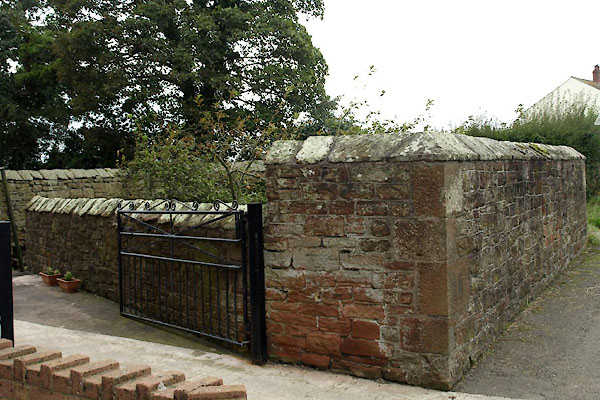 |
NY17415065 pinfold, Abbey Town (Holme Abbey) |
|
|
 |
NY16995076 police house, Abbey Town (Holme Abbey) |
|
|
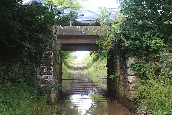 |
NY17655102 railway bridge, Abbey Town (Holme Abbey) |
|
|
 |
NY17525050 Stank Bridge (Holme Abbey) |
|
|
 |
NY16945042 Stank (Holme Abbey) |
|
|
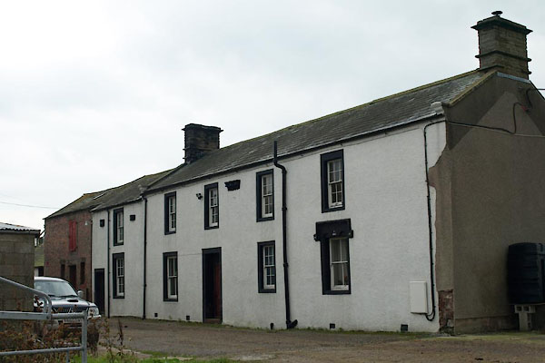 |
NY17485030 Swinsty Farm (Holme Abbey) L |
|
|
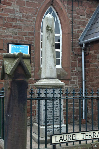 |
NY17275075 war memorial, Abbey Town (Holme Abbey) |
|
|
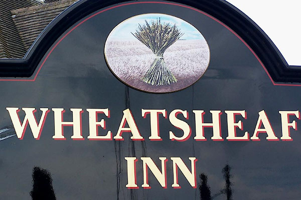 |
NY17405077 Wheatsheaf Inn (Holme Abbey) |
|
|
 |
NY17705081 Holme Coultram Abbey (Holme Abbey) L |
|
|
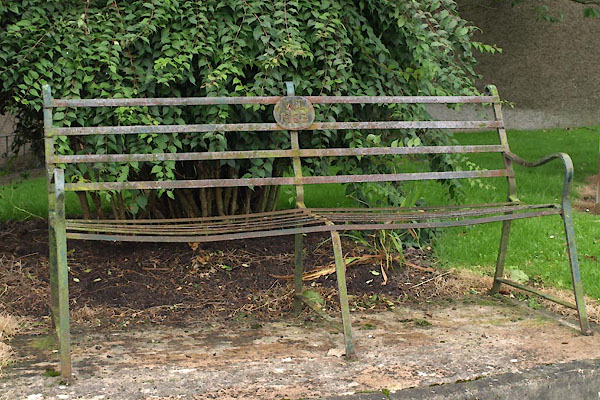 |
NY17245072 seat, Abbey Town (Holme Abbey) |
|


 click to enlarge
 click to enlarge
 click to enlarge
 click to enlarge


 click to enlarge
 click to enlarge
 goto source
 click to enlarge
 click to enlarge
 click to enlarge
 goto source
 click to enlarge
 click to enlarge
 click to enlarge
 click to enlarge

 click to enlarge
 click to enlarge
 click to enlarge
 click to enlarge


