button to main menu  Old Cumbria Gazetteer
Abbey Town: Ferguson Fuels
Ferguson Fuels coal yard
locality:-   Abbey Town
civil parish:-   Holme Abbey (formerly Cumberland)
county:-   Cumbria
locality type:-   coal depot
locality type:-   workplace
coordinates:-   NY17365087
1Km square:-   NY1750
10Km square:-   NY15


photograph
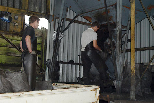
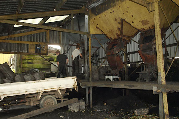
BVI57.jpg  Filling sacks, loading the lorry.
(taken 16.9.2011)  
photograph
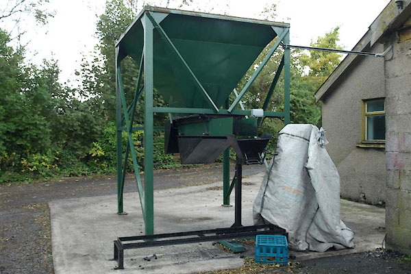
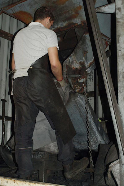
BVI59.jpg  Filling sacks; the hopper outlet is operated by a treadle; notice the apron.
(taken 16.9.2011)  
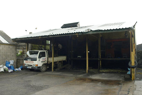
The main coal stock piles are behind the loading shed, the hoppers filler from the back. The loading bay is arranged to make best use of gravity.

evidence:-   old map:- OS County Series (Cmd 28) 
source data:-   Maps, County Series maps of Great Britain, scales 6 and 25 inches to 1 mile, published by the Ordnance Survey, Southampton, Hampshire, from about 1863 to 1948.
"Railway Station / Coal &Lime Depot"


photograph
BVI58.jpg  Filling sacks, loading the lorry.
(taken 16.9.2011)  
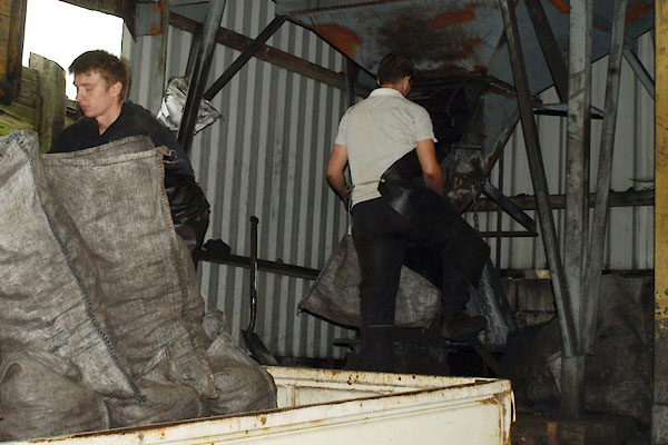
photograph
BVI60.jpg  Filling sacks, loading the lorry.
(taken 16.9.2011)  
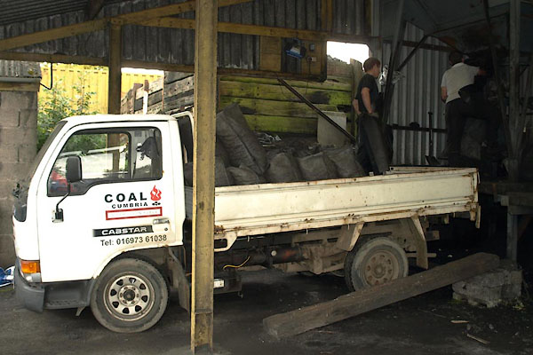
photograph
BVI56.jpg  Lorry.
(taken 16.9.2011)  
photograph
BVI55.jpg (taken 16.9.2011)  
photograph
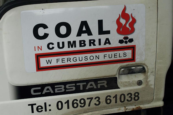
BVI61.jpg  Lorry door:-
"COAL IN / CUMBRIA / W FERGUSON FUELS ..." (taken 16.9.2011)  
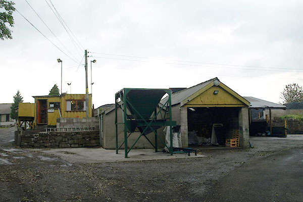
photograph
BVI62.jpg (taken 16.9.2011)  
photograph
BVI63.jpg  Hopper.
(taken 16.9.2011)  
photograph
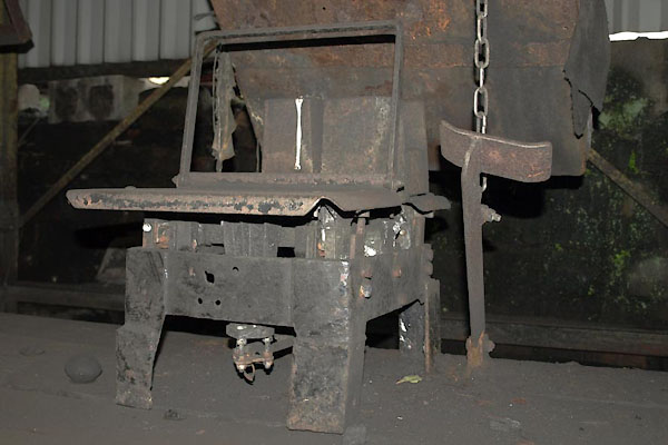
BVI64.jpg  Scales; and notivce the treadle to work the hopper.
(taken 16.9.2011)  

photograph
BVI65.jpg  Coal.
(taken 16.9.2011)  
photograph
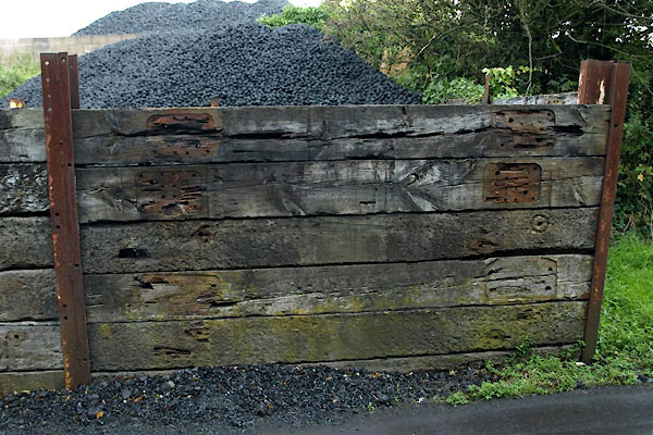
BVI66.jpg  Fence, railway sleepers.
(taken 16.9.2011)  

button to lakes menu  Lakes Guides menu.