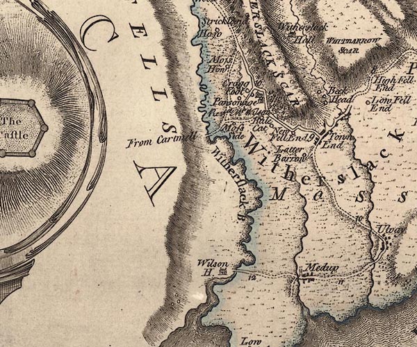
 Jefferys 1770 SD48SW

|

|
|
|
gazetteer links places may or may not be labelled on the map |
||

|
-- Beck Head Farm -- "Beck Head" |
|
|
|
-- Beck Head -- "Beck Head" |
|
|
|
-- Bleacrag Bridge |
|
|
|
-- Cartmel Fell -- "CARTMELL FELLS" |
|
|
|
-- Halecat House -- "Hale Cat" |
|
|
|
-- Halecat -- "Hale Cat" |
|
|
|
-- High Fell End -- "New Fell End" |
|
|
|
-- Key Moss -- "Cragg Foot" |
|
|
|
-- Latterbarrow Farm -- "Latter Barrow" |
|
|
|
-- Latterbarrow -- "Latter Barrow" |
|
|
|
-- Meathop Bridge |
|
|
|
-- Meathop -- "Medum" |
|
|
|
-- Moss Howe -- "Moss How" |
|
|
|
-- Nichols Moss -- "PEAT MOSSES" |
|
|
|
-- Meathop and Ulpha road |
|
|
|
-- Witherslack road -- "From Cartmell" -- "From
Cartmell" |
|
|
|
-- Slate Hill -- "Moss Side" |
|
|
|
-- St Paul's Church |
|
|
|
-- Town End -- "Town End" |
|
|
|
-- Vicarage -- "Parsonage / Revd. Mr. Wilson" |
|
|
|
-- Whitbarrow Scar -- "WITHERSLACK SCAR / WHITBARROW
SCAR" |
|
|
|
-- Wilson House -- "Wilson H." |
|
|
|
-- Winster, River -- "Witherslack B." |
|
|
|
-- Witherslack Mill |
|
|
|
-- Witherslack -- "Witherslack" |
|
|
civil parishes The area roughly includes parts of parishes:- Upper Allithwaite Witherslack Broughton East Meathop and Ulpah Grange-over-Sands |
||
|
|
||
|
|
Lakes Guides menu. | |