 Jefferys 1770 SD5192H

|

|
|
|
gazetteer links places may or may not be labelled on the map |
||

|
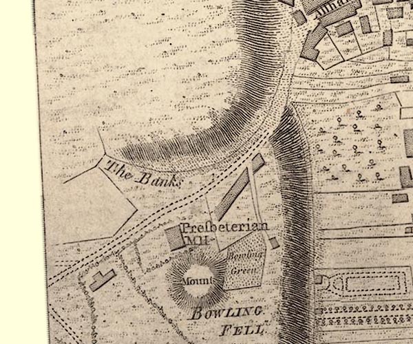
-- bowling green, Kendal -- "Bowling Green" |
|
|
|
-- Castle Howe -- "Mount"-- Castle Howe --
"Mount" |
|
|
|
-- Kendal Fell |
|
|
|
-- Beast Banks -- "The Banks" |
|
|
|
-- Monument Place -- "Presbeterian MH" |
|
|
|
-- Kendal to Ulverston |
|
|
civil parishes The area roughly includes parts of parishes:- Kendal |
||
|
|
||
|
|
Lakes Guides menu. | |