 Jansson 1646 NY36


|

|
|
|
gazetteer links places may or may not be labelled on the map |
||

|
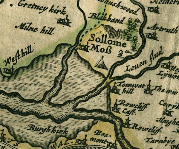
-- Battle of Solway Moss -- "Sollome Moss" |
|
|
|
-- Blackbank -- "Blakband" |
|
|
|
-- Eden, River -- "Eden flude" -- "Eden flu."
-- "Eden flud" |
|
|
|
-- Esk, River -- "Esk flud" |
|
|
|
-- Gretna -- "Gretney kirk" |
|
|
|
-- Lyne, River -- "Leven flud" |
|
|
|
-- Medohush Wood (?) -- "Medohushwood" |
|
|
|
-- Mill Hill -- "Milne hill" |
|
|
|
-- Rockcliffe Castle (?) -- "Rowcliff Cast." |
|
|
|
-- Rockcliffe -- "Rowcliff" |
|
|
|
-- Sark, River -- "Sark fl." |
|
|
|
-- Solway Moss -- "Sollome Moss" |
|
|
|
-- Todhills -- "Tomwat hill" |
|
|
civil parishes The area roughly includes parts of parishes:- Beaumont Rockcliffe Kirkandrews Westlinton Arthuret Stanwix Rural Burgh by Sands Kingmoor |
||
|
|
||
|
|
Lakes Guides menu. | |