 Jansson 1646 NY52


|

|
|
|
gazetteer links places may or may not be labelled on the map |
||

|
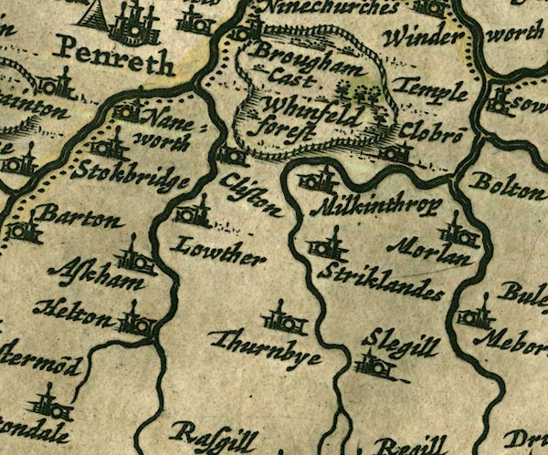
-- Askham -- "Askham" |
|
|
|
-- Cliburn -- "Clobro~" |
|
|
|
-- Clifton -- "Cliston" |
|
|
|
-- Eamont, River |
|
|
|
-- Great Strickland -- "Stricklandes" |
|
|
|
-- Helton -- "Helton" |
|
|
|
-- Heltondale Beck |
|
|
|
-- Leith, River |
|
|
|
-- Lowther -- "Lowther" |
|
|
|
-- Lowther, River |
|
|
|
-- Melkinthorpe -- "Milkinthrop" |
|
|
|
-- Morland -- "Morlan" |
|
|
|
-- Sleagill -- "Slegill" |
|
|
|
-- Sockbridge -- "Stokbridge" |
|
|
|
-- Thrimby -- "Thurnbye" |
|
|
|
-- Whinfell Forest -- "Whinfeld forest" |
|
|
|
-- Whinfell Park |
|
|
|
-- Yanwath -- "Naneworth" |
|
|
civil parishes The area roughly includes parts of parishes:- Penrith Dacre Askham Barton Sockbridge and Tirril Langwathby Sleagill Little Strickland Culgaith Newby Thrimby Lowther Great Strickland Cliburn Morland Bampton Clifton Yanwath and Eamont Bridge Brougham |
||
|
|
||
|
|
Lakes Guides menu. | |