 Garnett 1850s-60s SD68


|

|
|
|
gazetteer links places may or may not be labelled on the map |
||

|
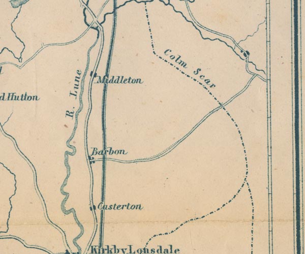
-- Barbon -- "Barbon" |
|
|
|
-- Casterton -- "Casterton" |
|
|
|
-- Low Gill and Ingleton branch railway (?) |
|
|
|
-- Lune, River -- "R. Lune" -- "R. Lune" --
"R. Lune" |
|
|
|
-- Middleton Fell -- "Colm Scar" |
|
|
|
-- Middleton -- "Middleton" |
|
|
civil parishes The area roughly includes parts of parishes:- Dent Kirkby Lonsdale Casterton Sedbergh Barbon Killington Mansergh Middleton |
||
|
|
||
|
|
Lakes Guides menu. | |