 Garnett 1850s-60s SD17


|

|
|
|
gazetteer links places may or may not be labelled on the map |
||

|
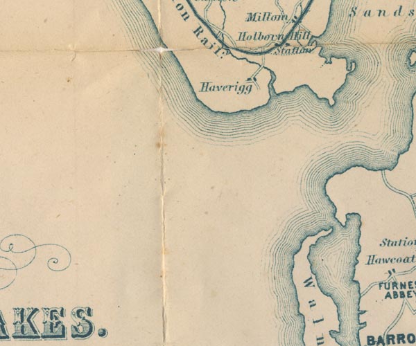
-- Haverigg -- "Haverigg" |
|
|
|
-- Holborn Hill -- "Holborn Hill" |
|
|
|
-- Millom Station -- "Station" |
|
|
|
-- Walney Island -- "Walney Id." |
|
|
civil parishes The area roughly includes parts of parishes:- Millom Without Barrow-in-Furness Millom Kirkby Ireleth Askam and Ireleth |
||
|
|
||
|
|
Lakes Guides menu. | |