 Garnett 1850s-60s NY65


|

|
|
|
gazetteer links places may or may not be labelled on the map |
||

|
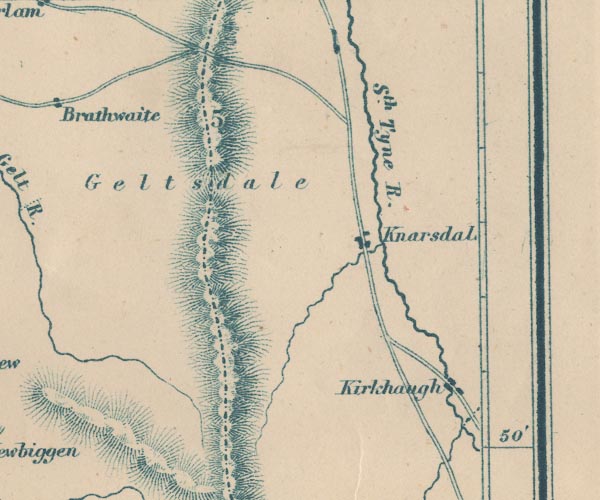
-- Kirkhaugh -- "Kirkhaugh" |
|
|
|
-- Knarsdale -- "Knarsdal" |
|
|
|
-- Pennines, The |
|
|
|
-- South Tyne, River -- "Sth. Tyne R." |
|
|
civil parishes The area roughly includes parts of parishes:- Farlam Midgeholme Geltsdale Ainstable |
||
|
|
||
|
|
Lakes Guides menu. | |