 Garnett 1850s-60s NY43


|

|
|
|
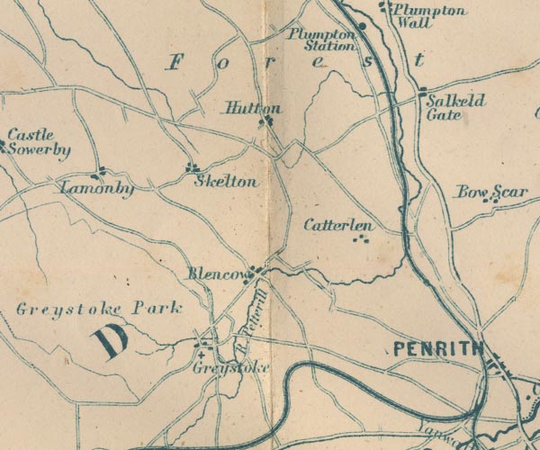
gazetteer links places may or may not be labelled on the map |
||

|
-- Blencow -- "Blencow" |
|
|
|
-- Catterlen -- "Catterlen" |
|
|
|
-- Cockermouth, Keswick and Penrith Railway |
|
|
|
-- Greystoke Castle -- "Greystoke Park" |
|
|
|
-- Greystoke -- "Greystoke" |
|
|
|
-- Hutton End -- "Hutton" |
|
|
|
-- Lamonby -- "Lamonby" |
|
|
|
-- Lancaster and Carlisle Railway -- "Lancaster & Carlisle
Railway" -- "Lancaster & Carlisle Railway" |
|
|
|
-- Petteril, River -- "R Petterill" -- "R.
Petterill" |
|
|
|
-- Plumpton -- "Salkeld Gate" |
|
|
|
-- Penrith to Carlisle |
|
|
|
-- Skelton -- "Skelton" |
|
|
|
-- St Andrew's Church |
|
|
civil parishes The area roughly includes parts of parishes:- Greystoke Mungrisdale Dacre Catterlen Skelton Penrith Castle Sowerby Hesket |
||
|
|
||
|
|
Lakes Guides menu. | |