 Garnett 1850s-60s NY26


|

|
|
|
gazetteer links places may or may not be labelled on the map |
||

|
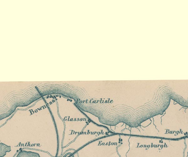
-- Bowness-on-Solway |
|
|
|
-- Drumburgh -- "Drumburgh" |
|
|
|
-- Easton -- "Easton" |
|
|
|
-- Glasson -- "Glasson" |
|
|
|
-- Port Carlisle Dock and Railway |
|
|
|
-- Port Carlisle -- "Port Carlisle" |
|
|
|
-- Solway Junction Railway |
|
|
civil parishes The area roughly includes parts of parishes:- Bowness Rockcliffe Burgh by Sands |
||
|
|
||
|
|
Lakes Guides menu. | |