 Ford 1839 map NY37


|

|
|
|
gazetteer links places may or may not be labelled on the map |
||

|
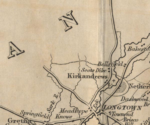
-- Bellfield -- "Bellsfield" |
|
|
|
-- Esk, River -- "Esk R." |
|
|
|
-- Kirkandrews -- "Kirkandrews" |
|
|
|
-- Meadhope -- "Meadhope" |
|
|
|
-- Netherby -- "Netherby" |
|
|
|
-- Carlisle to Jedburgh |
|
|
|
-- Sark, River -- "Sark R." |
|
|
|
-- Scotsdike -- "Scots Dike" |
|
|
civil parishes The area roughly includes parts of parishes:- Arthuret Kirkandrews |
||
|
|
||
|
|
Lakes Guides menu. | |