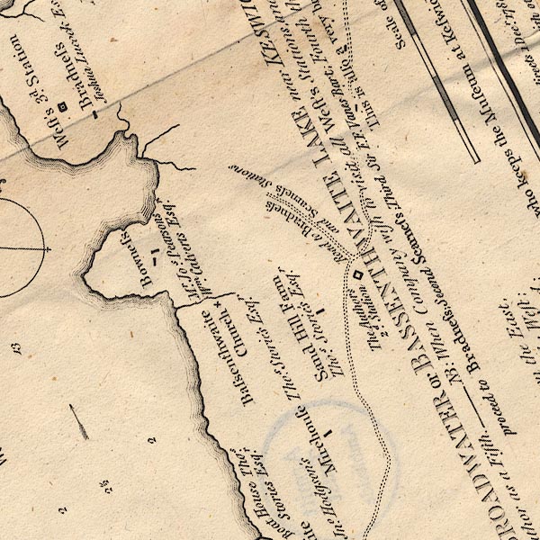
 Crosthwaite 1783-94, tetrad NY22J

|

|
|
|
gazetteer links
|
||

|
-- Bowness Bay
|
|
|
|
-- "Bowness" -- Bowness Farm
|
|
|
|
-- "Bradness" -- Broadness
|
|
|
|
-- Church Bay
|
|
|
|
-- "Mirehouse" -- Mirehouse
|
|
|
|
-- Bassenthwaite Lake circuit
|
|
|
|
-- "Sand Hill Farm" -- Sand Hill
|
|
|
|
-- "Bassenthwaite Church" -- St Bega's Church
|
|
|
|
-- station, Sandbeds Gill
|
|
|
civil parishes The area roughly includes parts of parishes:- Bassenthwaite Underskiddaw Above Derwent |
||
|
|
||
|
|
Lakes Guides menu. | |