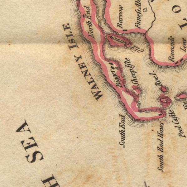
 West 1784 map SD16


|

|
|
|
gazetteer links places may or may not be labelled on the map |
||

|
-- Barrow Island |
|
|
|
-- Biggar |
|
|
|
-- Poaka Beck |
|
|
|
-- Sheep Island |
|
|
|
-- South End |
|
|
|
-- Walney Island -- "WALNEY ISLE" |
|
|
civil parishes The area roughly includes parts of parishes:- Barrow-in-Furness |
||
|
|
||
|
|
Lakes Guides menu. | |