 West 1784 map NY01


|

|
|
|
gazetteer links places may or may not be labelled on the map |
||

|
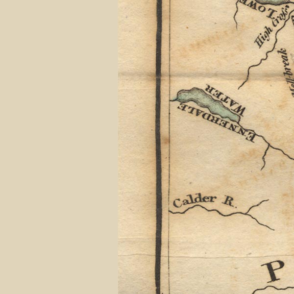
-- Calder, River |
|
|
|
-- Ennerdale Water -- "ENNERDALE WATER" |
|
|
civil parishes The area roughly includes parts of parishes:- Haile St John Beckermet Ennerdale and Kinniside Cleator Moor Arlecdon and Frizington St Bees Egremont Whitehaven Weddicar Moresby St Bridget Beckermet Lowside Quarter Lamplugh |
||
|
|
||
|
|
Lakes Guides menu. | |