 Speed 1611 (Wmd) SD47


|

|
|
|
gazetteer links places may or may not be labelled on the map |
||

|
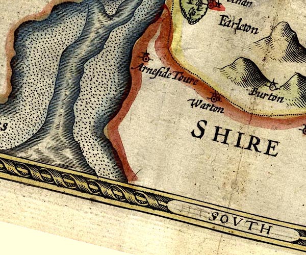
-- Arnside Tower -- "Arneside Tower" |
|
|
|
-- Kent Estuary |
|
|
|
-- Lancaster Sands -- "Ken Sandes" |
|
|
|
-- Warton -- "Warton" |
|
|
civil parishes The area roughly includes parts of parishes:- Broughton East Lower Allithwaite Lower Holker Upper Allithwaite Beetham Arnside Grange-over-Sands Meathop and Ulpha |
||
|
|
||
|
|
Lakes Guides menu. | |