button to main menu   Saxton 1576 SD78
date  bar
Note: some of these makers maps may not show this square
Note: click on map edges for adjacent squares

Saxton 1576
(Area of roughly corresponding to Saxton 1576 SD78 plus overlaps, North at the top; the original map is printed with magnetic north 1576 at the top)

item:-  private collection (2)
image:-  © see bottom of page
gazetteer links

places may or may not be labelled on the map

button -- 
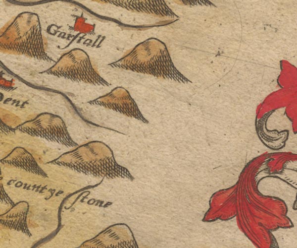
Garsdale -- "Garstall"

civil parishes

The area roughly includes parts of parishes:-

    Garsdale
    Dent
    Casterton

button to Lakes menu Lakes Guides menu.
goto SD69 goto SD79 goto SD68 goto SD67 go back to 10Km square index