button to main menu   Saxton 1576 SD29
date  bar
Note: some of these makers maps may not show this square
Note: click on map edges for adjacent squares

Saxton 1576
(Area of roughly corresponding to Saxton 1576 SD29 plus overlaps, North at the top; the original map is printed with magnetic north 1576 at the top)

item:-  private collection (2)
image:-  © see bottom of page
gazetteer links

places may or may not be labelled on the map

button -- Coniston Water
button -- 
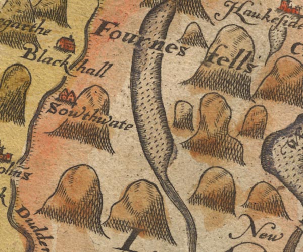
Furness Fells -- "Fournes fells"
button -- Seathwaite -- "Sowthwate"

civil parishes

The area roughly includes parts of parishes:-

    Blawith and Subberthwaite
    Torver
    Coniston
    Kirkby Ireleth
    Dunnerdale-with-Seathwaite
    Ulpha
    Colton
    Broughton West
    Eskdale

button to Lakes menu Lakes Guides menu.
goto NY10 goto NY20 goto NY30 goto SD19 goto SD39 goto SD18 goto SD28 goto SD38 go back to 10Km square index <>