 Saxton 1576 NY67


|

|
|
|
gazetteer links places may or may not be labelled on the map |
||

|
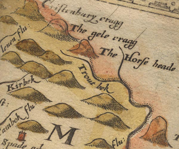
-- Gair Burn -- "Trout bek" |
|
|
|
-- Gill Pike -- "The gele cragg" |
|
|
|
-- Horse Head -- "The Horse head" |
|
|
|
-- Irthing, River -- "Irthing flu:" -- "Irthing
flu:" -- "Trout bek" |
|
|
civil parishes The area roughly includes parts of parishes:- Askerton Kingwater Bewcastle |
||
|
|
||
|
|
Lakes Guides menu. | |