 Saxton 1576 NY26


|

|
|
|
gazetteer links places may or may not be labelled on the map |
||

|
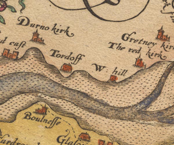
-- Bowness-on-Solway -- "Boulnesse" |
|
|
|
-- Dornock -- "Durno kirk" |
|
|
|
-- Hadrian's Wall -- "THE WALL OF THE PICTES" |
|
|
|
-- Redkirk -- "The red kirk" |
|
|
|
-- Solway Firth |
|
|
|
-- Torduff -- "Tordoff" |
|
|
|
-- Westhills -- "W: hill" |
|
|
civil parishes The area roughly includes parts of parishes:- Bowness Rockcliffe Burgh by Sands |
||
|
|
||
|
|
Lakes Guides menu. | |