 Otley 1818 NY43


|

|
|
|
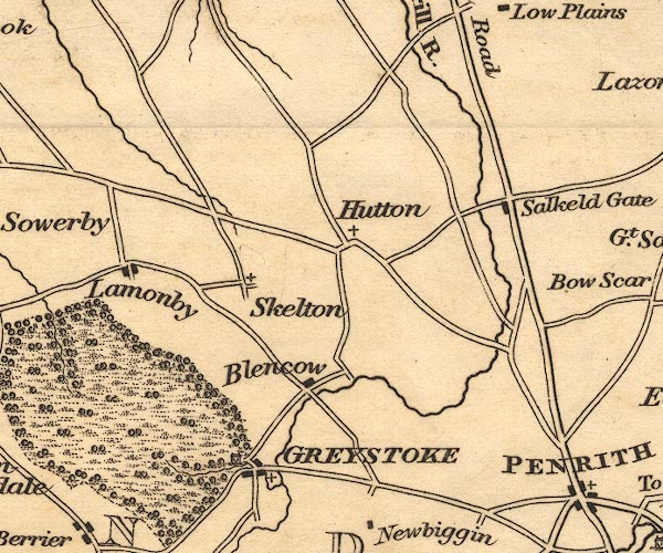
gazetteer links places may or may not be labelled on the map |
||

|
-- Blencow |
|
|
|
-- Greystoke Castle |
|
|
|
-- Greystoke -- "GREYSTOKE" |
|
|
|
-- Hutton-in-the-Forest |
|
|
|
-- Lamonby |
|
|
|
-- Plumpton |
|
|
|
-- Skelton |
|
|
civil parishes The area roughly includes parts of parishes:- Greystoke Mungrisdale Dacre Catterlen Skelton Penrith Castle Sowerby Hesket |
||
|
|
||
|
|
Lakes Guides menu. | |