 Wilkes 1801-28

|

|
|
|
map type:- Wilkes 1801-28 |
|
|
|
Maps, Westmoreland, scale about 5 miles to 1 inch, and
Cumberland? by John Wilkes, engraved by J Pass, published J
Adlard, Duke Street, West Smithfield, London, 1801-28?
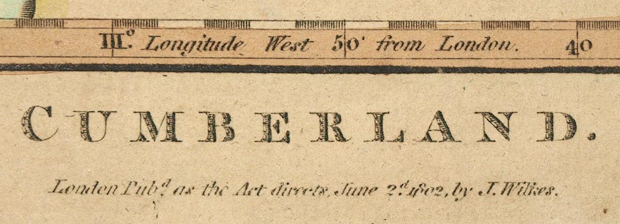
Published in 'Encyclopaedia Londinensis ... By John Wilkes ... London: Printed for the Proprietor, By J. Adlard, Duke Street, West Smithfield: Sold ... by J. White, Fleet-Street; and Champante and Whitrow, Jewry-Street, Aldgate, 1810.' |
||
|
(example map)
|
||
| map feature:- | compass rose & up is N & scale line & lat and long scales & coast shaded & rivers & relief & lakes & hill hachuring & parks & county & settlements & roads & canals | |
| inscription:- |
printed bottom right
J. Pass sc. |
|
| inscription:- |
printed bottom centre
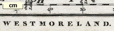
WESTMORELAND. / Engraved for the Encyclopaedia Londinensis. 1828. |
|
| wxh, sheet:- | 21x26.5cm | |
| wxh, map:- | 244x197mm | |
| scale line:- | 8 miles = 38.8 mm | |
| scale:- | 1 to 330000 ? (1 to 331824 from scale line) | |
|
||
|
||
| sources:- |
Chubb 1927 (CCCXLV) Armitt Library JandMN Collection Kendal Library Maps Carlisle Library Maps |
|
| items seen (illustrated items in bold):- | ||

|
Armitt Library : ALMC2008.14.46 -- map -- Westmoreland | |
|
|
Armitt Library : ALMC2008.14.81 -- map -- Westmoreland | |
|
|
Carlisle Library : Map 326 -- map -- Cumberland | |
|
|
JandMN (110) -- map -- Westmoreland | |
|
|
Kendal Library : Map 60 -- map -- Westmoreland | |