 Relief Map of the Lake District

|

|
|
|
map type:- Reynolds 1920s |
|
|
|
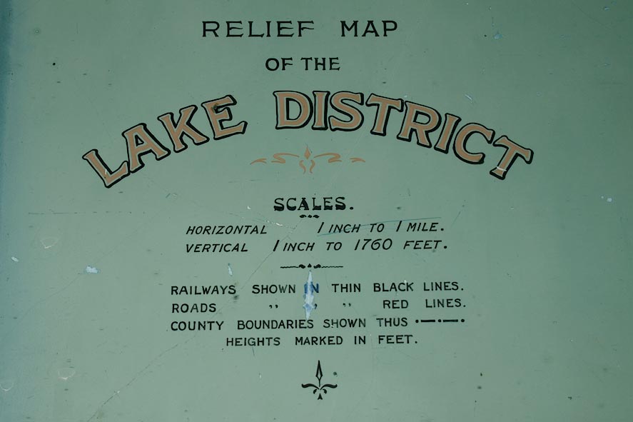
Relief Map of the Lake District, made with plaster of
paris, scale 1 inch to 1 mile, made by Exelby Reynolds,
Shipley, Yorkshire, 1920s-40s.
The vertical exageration is 3 times. |
||
|
(example private collection (123))
|
||
| map feature:- | north point & up is N & sea tinted & coast line & rivers & lakes & relief & solid relief & county & settlements & roads & railways | |
| inscription:- |
painted lower right
E. Reynolds / MAKER / SHIPLEY / YORKS. / ALL RIGHTS RESERVED. |
|
| inscription:- |
painted lower left
RELIEF MAP / OF THE / LAKE DISTRICT / SCALES / HORIZONTAL 1 INCH TO 1 MILE. / VERTICAL 1 INCH TO 1760 FEET / ... |
|
| scale:- | 1 to 63360 ? (nominal) | |
| sources:- |
private collection |
|
| items seen (illustrated items in bold):- | ||

|
private collection (123) -- relief map -- Relief Map of the Lake District | |
|
|
private collection (124) -- relief map -- Model Map of the English Lake District | |