 Albion et Hibernia Britannicae Insulae

|

|
|
|
map type:- Ptolemy 1793 |
|
|
|
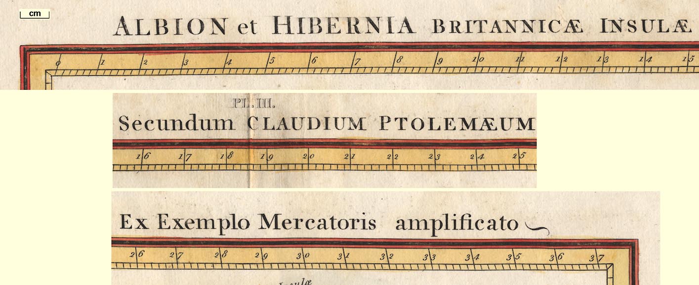
Map, Albion et Hibernia Britannicae Insulae, the British
Isles from Ptolemy's data, engraved by Basire, published by
the Society of Antiquaries, London, 1793.
The geographical data, a world gazetteer 'Geographia', was compiled by Claudius Ptolemy and later used by various cartographers to draw maps, often referred to as Ptolemy maps, about the 15-16th centuries. This late 18th century map is 'after' the plot by Gerard Mercator. Places of interest to Westmorland, Cumberland, etc are Morecambe Bay and the Eden estuary. |
||
| sources:- |
HMCMS Map Collection |
|
| items seen (illustrated items in bold):- | ||

|
Hampshire Museums : FA2002.651 -- map -- Albion et Hibernia Britannicae Insulae | |