 Philips' Cyclists' Map of the Lake District

|

|
|
|
map type:- Philip 1920s |
|
|
|
Road map, Philips' Cyclists' Map of the Lake District,
scale about 4 miles to 1 inch, by George Philip and Son, 32
Fleet Street, London, and Liverpool, Merseyside, 1920s?
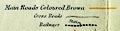
The map is overprinted with graded red arrows to mark hills to beware of, and letters indicating Cyclists' Touring Club consuls, recommended hotels, and bicycle repair facilities. |
||
|
(map example JandMN (133))
|
||
| map feature:- | mounted (linen) & folded (4x3) & card covers & up is N & scale line & lat and long scales & table of symbols & sea tinted & coast line & rivers & lakes & relief & hill hachuring & dangerous hills & parks & county & settlements & roads & railways & canals | |
| inscription:- |
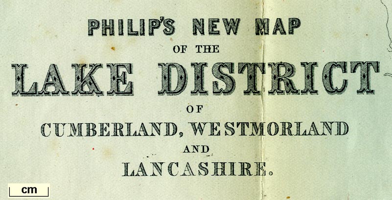
printed title, lower left
PHILIP'S NEW MAP / OF THE / LAKE DISTRICT / OF / CUMBERLAND, WESTMORLAND / AND / LANCASHIRE |
|
| inscription:- |
printed bottom
GEORGE PHILIP & SON, LONDON & LIVERPOOL |
|
| inscription:- |
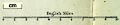
printed above scale line
English Miles |
|
| wxh, cover:- | 10x16cm | |
| wxh, folded:- | 9.5x15.5cm | |
| wxh, sheet:- | 37x45.5cm | |
| wxh, map:- | 331x424mm | |
| scale line:- | 10 miles = 61.5 mm | |
| scale:- | 1 to 260000 ? (1 to 261680 from scale line) | |
|
||
|
||
| sources:- |
JandMN Collection |
|
| items seen (illustrated items in bold):- | ||

|
JandMN (133) -- road map -- Philips' Cyclists' Map of the Lake District | |