 Map of Scotland, Hebrides and Part of England

|

|
|
|
map type:- Pennant 1777 |
|
|
|
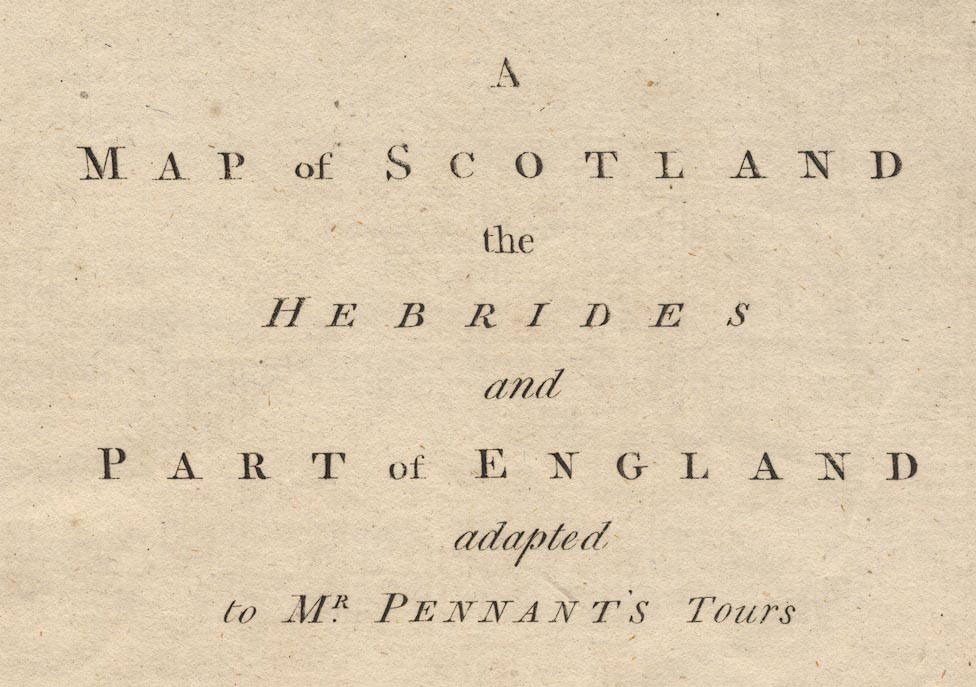
A Map of Scotland, Hebrides and Part of England, drawn
for Thomas Pennant, engraved by J Bayly, published by
Benjamin White, London, 1777.
The map relates to A Tour in Scotland and a Voyage to the Hebrides, 1772, by Thomas Pennant. On his outward journey to Scotland, Thomas Pennant visited Furness Abbey, Ulverston, Coniston, Hawkshead, Windermere, Rydal, Thirlmere, Keswick, Bassenthwaite, and Cockermouth. His return journey was on the road Carlisle through Penrith, Shap, and Kendal, to Lancaster. |
||
|
(example map)
|
||
| map feature:- | up is N & lat and long scales (conical projection? longitude E and W of Edinburgh) & sea plain & coast shaded & rivers & lakes & relief & hillocks & county & settlements | |
| inscription:- |
printed upper right
A / MAP of SCOTLAND / the / HEBRIDES / and / PART of ENGLAND / adapted / to MR. PENNANT'S Tours |
|
| inscription:- |
printed bottom left and centre
J. Bayly sculp. / Published 1st. of May 1777 by Benj, White. |
|
| wxh, sheet:- | 47.5x63cm | |
| wxh, plate:- | 470x615mm (roughly) | |
| wxh, map:- | 456x598mm | |
| sources:- |
Bicknell 1990 private collection |
|
| items seen (illustrated items in bold):- | ||

|
private collection (66) -- map -- Map of Scotland, Hebrides and Part of England | |