 Ambleside Railway, Plans and Sections, Session
1887
Ambleside Railway, Plans and Sections, Session
1887

|

|
|
|
map type:- Parliamentary Plans |
|
|
|
Parliamentary plans, railway maps and sections, usually a
large scale, with an associated book of reference, to
accompany a bill in Parliament, early 19th century onwards.
|
||
|
(map example Armitt Library : DEP244)
|
||
| map feature:- | settlements & roads & railways | |
| inscription:- |
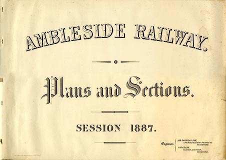
printed cover sheet
AMBLESIDE RAILWAY / Plans and Sections. / SESSION 1887. / Engineers / SIR DOUGLAS FOX, / 2, VICTORIA MANSIONS, VICTORIA ST., / WESTMINSTER. / G. H. LEANE, / 21, QUEEN ANNES GATE, / WESTMINSTER. / THOS. KELL & SON LITH. 40, KING ST. COVENT GARDEN. |
|
| inscription:- |
ms cover of book of reference
Colonel. G. [Rhodes]. |
|
| wxh:- | 21x33cm | |
| wxh, sheet:- | 76.5x54.5cm | |
| inscription:- |
printed with scale line
Horizontal Scale for Plan and Section |
|
| scale line:- | 20+1 chains = 168.6 mm | |
| scale:- | 1 to 2500 ? (1 to 2506 from scale line) | |
| references:- |
Biddle, Gordon: 1990: Railway Surveyors, The: Ian Allan
(London):: describes parliamentary plans and procedures Fuller, H J: 1897: Preparation of Parliamentary Plans for Railways |
|
| sources:- |
Armitt Library |
|
| items seen (illustrated items in bold):- | ||

|
Armitt Library : DEP244 -- railway map -- Ambleside Railway, Plans and Sections, Session 1887 | |