 OS County Series

|

|
|
|
map type:- OS County Series |
|
|
|
Maps, County Series maps of Great Britain, scales 6 and
25 inches to 1 mile, published by the Ordnance Survey,
Southampton, Hampshire, from about 1863 to 1948.
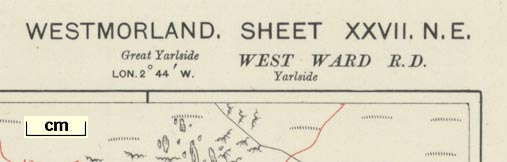
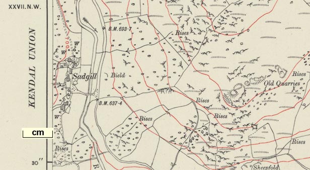
Surveying for 6 inch maps, 1 to 10560, began in the 1840s, aiming to cover all of Great Britain. Each county or perhaps a group of counties, had its own meridian; Westmorland, Cumberland, Lancashire and Yorkshire use different meridians. Full sheets in the series were 36x24ins, ie 6x4 miles, numbered sequentially from left to right, top to bottom, within each county; adjacent counties were on their own independent grid of sheets. The sheet name is the county name and sheet number. On earlier sheets the mapping stopped at the county boundary. The maps have no index grid, only having scales of latitude an longitude in the borders. From the 1850s some contours are given. Cumbria sheets were probably first completed 1890s? From 1882 the maps were engraved in quarter sheets; the sheet name having NW, NE, SE, SW as a suffix. The series was replaced by the National Grid 1 to 10560 series from 1948; and from 1969 by the metric 1 to 10000 series. Regular surveying for 25 inch maps, 1 to 2500, began slowly in from 1863, aiming to cover all cultivated land. The revised completion date was set at 1890. Revisions were planned on a 25 year cycle; 1st revision 1891-1914, 2nd from 1904, 3rd from 1911, neither of the later revisions completed. There were 16 subsheets to each 6 inch sheet, the 25 inch sheet name being the 6 inch sheet plus a serial number from 1..16 from the top left. The series was replaced by the National Grid series from about 1948. Surveying at these scales usually began in the south and worked up the country, so cumbrian parts were surveyed later. The sheets that concern Westmorland, Cumberland, and the parts of Lancashire north of the sands, and of Yorkshire, that became Cumbria are shown below:- |
||

|
||
| references:- |
Harley, J B: 1975: Ordnance Survey Maps, a descriptive
manual: Ordnance Survey (Southampton, Hampshire) : 1930 (4th edn): Description of the Large Scale Maps of Great Britain: Ordnance Survey (Southampton, Hampshire) : 1947: Description of the Ordnance Survey Large Scale Maps: Ordnance Survey (Southampton, Hampshire) |
|
| sources:- |
Armitt Library JandMN Collection private collection |
|
| items seen (illustrated items in bold):- | ||
| see:- | Armitt Library : A7025 -- map series | |
| see:- | Armitt Library : A7026 -- map series | |

|
Armitt Library : A7026.38 -- map | |
|
|
Armitt Library : A7026.39 -- map | |
|
|
Armitt Library : A7026.40 -- map | |
|
|
Armitt Library : A7026.41 -- map | |
|
|
Armitt Library : A7026.54 -- map | |
|
|
Armitt Library : A7026.55 -- map | |
|
|
Armitt Library : A7026.56 -- map | |
|
|
Armitt Library : A7026.57 -- map | |
|
|
Armitt Library : A7026.64 -- map | |
|
|
Armitt Library : A7026.65 -- map | |
|
|
Armitt Library : A7026.66 -- map | |
|
|
Armitt Library : A7026.67 -- map | |
| see:- | Armitt Library : A7027 -- map series | |
|
|
Carlisle Library : Map 213 -- index map -- Parish of St Bees detached | |
|
|
Carlisle Library : Map 214 -- index map -- Parish of St Bees | |
|
|
Carlisle Library : Map 215 -- index map -- Parish of St Bees detached | |
|
|
JandMN (320) -- map | |
|
|
JandMN (321) -- map | |
|
|
JandMN (322) -- map | |
|
|
JandMN (323) -- map | |
|
|
JandMN (324) -- map | |
|
|
JandMN (325) -- map | |
|
|
private collection (55) -- map | |