 Lake District

|

|
|
|
map type:- OS 1925 |
|
|
|
Map, Ordnance Survey Tourist Map of The Lake District,
Westmorland, Cumberland etc, One Inch map, scale 1 inch to 1
mile, published by the Ordnance Survey, Southampton,
Hampshire, about 1925; published 1925-38 perhaps later?
|
||
|
(map example JandMN (62))
|
||
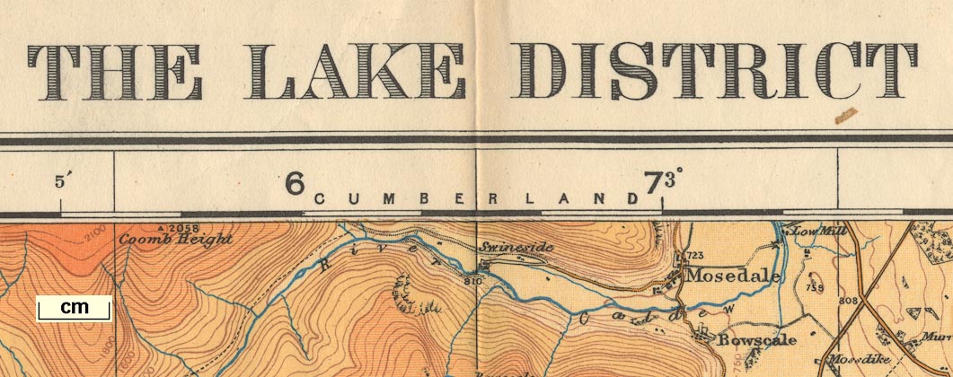
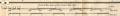
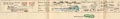
| map feature:- | folded & card covers & table of symbols & index map (showing the relationship to Popular Edition one inch sheets 9, 12, and 19) & north point & magnetic deviation (1.1.1937) & up is N & scale lines (miles and kilometres; a vertical scale line is provided as well as the usual horizontal scales, perhaps in case of differential paper shrinkage?) & lat and long scales & index grid (1..12 left to right, A..P top to bottom; the grid size has no obvious relationship to miles or kilometres) & rivers & lakes & depth contours & relief & contours & layer colouring & woods & trees & forests & parks & county & settlements & roads & canals & railways | |
| inscription:- |
printed top left, centre, right
ORDNANCE SURVEY OF ENGLAND / THE LAKE DISTRICT / TOURIST MAP |
|
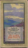
| inscription:- |
printed cover
G R / Ordnance Survey / Tourist Map of / The LAKE / DISTRICT / Scale : 1 Inch to 1 Mile / DERWENTWATER from SKIDDAW / ELLIS MARTIN / Price Two Shillings & Threepence view by Ellis Martin; title etc on a scroll of paper; royal coat of arms and cypher |
|
| scale line:- | 5+1 miles = 154.9 mm | |
| wxh, folded:- | 11.5x19cm | |
| wxh, sheet:- | 65.5x87cm | |
| wxh, map:- | 633x788mm | |
|
||
|
||
|
||
| sources:- |
JandMN Collection |
|
| items seen (illustrated items in bold):- | ||

|
JandMN (62) -- map -- Lake District -- Tourist Map of the Lake District | |