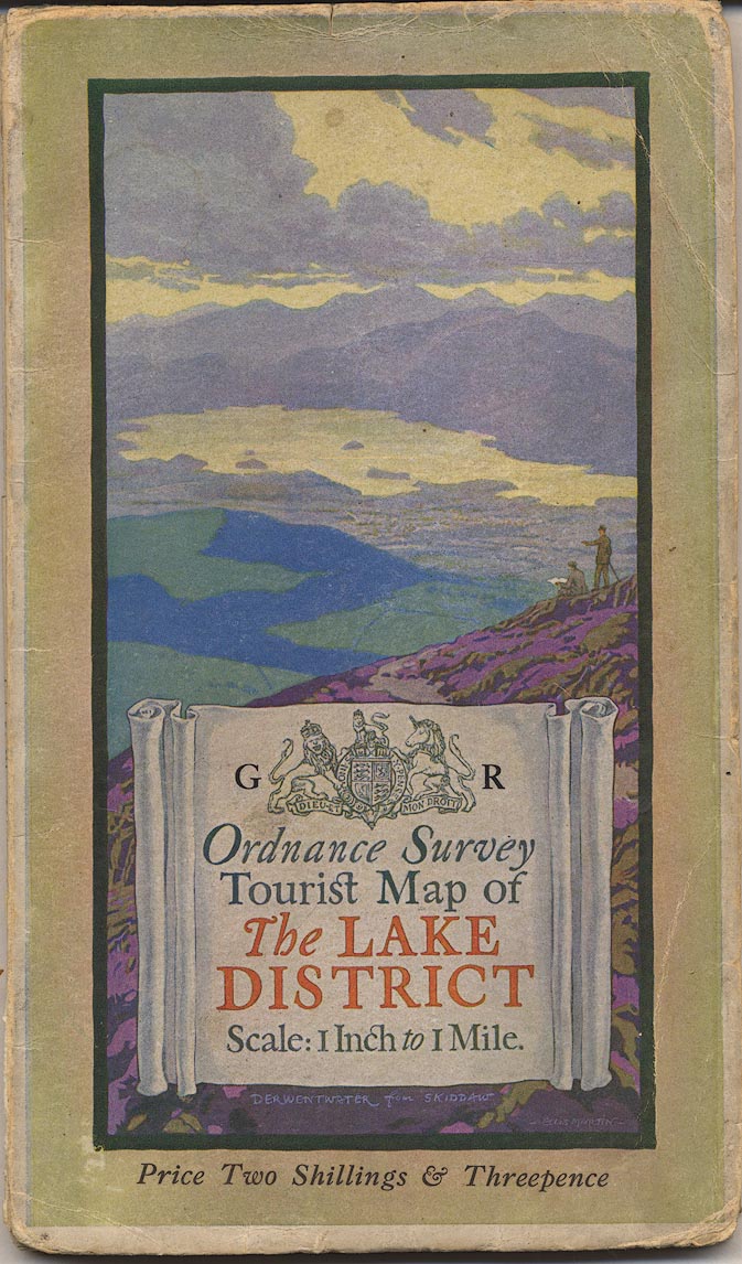
Map, Ordnance Survey Tourist Map of The Lake District,
Westmorland, Cumberland etc, One Inch map, scale 1 inch to 1
mile, published by the Ordnance Survey, Southampton,
Hampshire, about 1925; published 1925-38 perhaps later? (OS
1925)
 Lakes Guides menu.