 Diocese of Carlisle

|

|
|
|
map type:- Nurse 1918 |
|
|
|
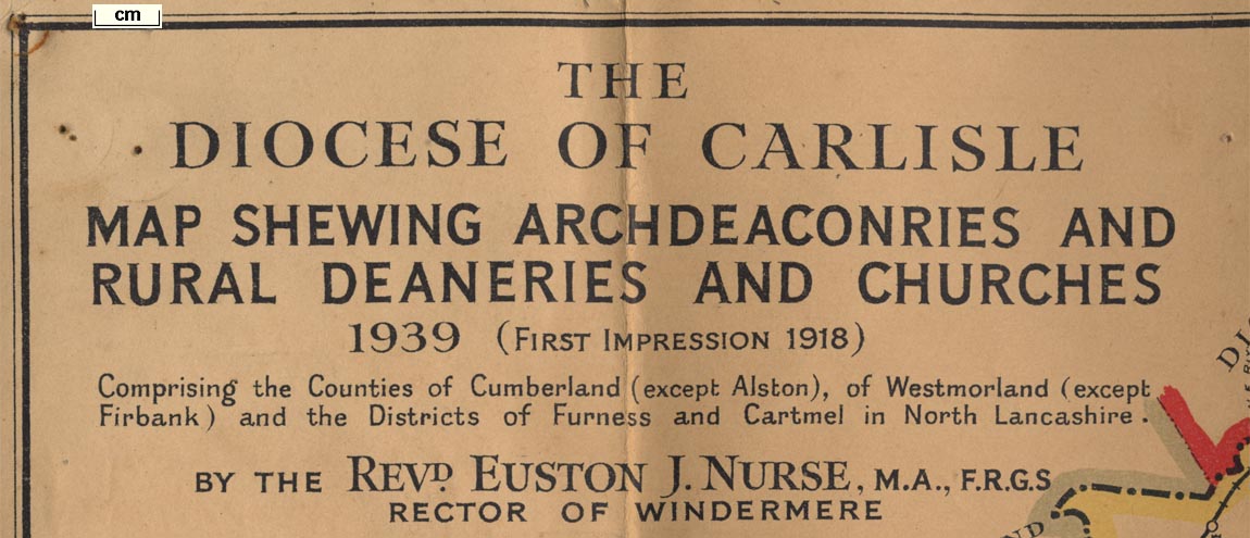
Diocesan map, The Diocese of Carlisle, Cumberland,
Westmorland, and Lancashire North of the Sands, scale about
4 miles to 1 inch, by Rev Euston J Nurse, published by
Charles Thurnam and Sons, 11 English Street, Carlisle,
Cumberland, 1918.
Published in further editions 1927, 1939, 1965 and 1972, usually at smaller scales; still to be found displayed in parish churches. Published as a Millenium Edition, by Location Map Services, Fleet, Hampshire, published by the London Missionary Society? London, 2000. |
||
|
(map example JandMN (27))
|
||
| map feature:- | folded & card covers & title cartouche & plain cartouche & up is N & scale line & sea plain & coast line & coast form lines & rivers & lakes & settlements & railways & ecclesiastical areas | |
| inscription:- |
printed title cartouche, upper left
THE / DIOCESE OF CARLISLE / MAP SHOWING ARCHDEACONRIES AND / RURAL DEANERIES AND CHURCHES / 1939 (FIRST IMPRESSION 1918) / Comprising the Counties of Cumberland (except Alston), of Westmorland (except / Firbank) and the Districts of Furness and Cartmel in North Lancashire. / BY THE REVD. EUSTON J. NURSE, M.A., F.R.G.S / RECTOR OF WINDERMERE |
|
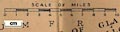
| scale line:- | 10 miles = 64.4 mm | |
| scale:- | 1 to 250000 ? (1 to 249898 from scale line) | |
| wxh, sheet:- | 41x53.5cm | |
| wxh, folded:- | 10.5x15.5cm | |
| wxh, map:- | 398x524mm | |
|
||

|
||
| references:- |
|
|
| sources:- |
JandMN Collection |
|
| items seen (illustrated items in bold):- | ||

|
JandMN (27) -- map -- Diocese of Carlisle | |
|
|
private collection (227) -- map -- Diocese of Carlisle | |