 Mogg 1822 map

|

|
|
|
map type:- Mogg 1822 map |
|
|
|
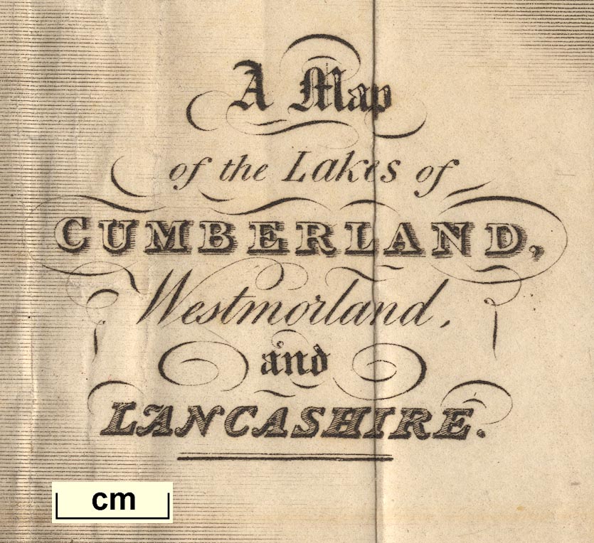
Map of the Lakes of Cumberland, Westmorland, and
Lancashire, scale about 3.5 miles to 1 inch, perhaps by
Edward Mogg, Charing Cross, London, 1822.
Published in a road book, Paterson's Roads, by the late LtCol Daniel Paterson, 1771, edited and published by Edward Mogg, Charing Cross, London, 16th edn 1822. |
||
|
(map example JandMN (57))
|
||
| map feature:- | north point & up is E & scale line & sea plain & coast shaded & rivers & lakes & relief & hill hachuring & woods & trees & parks & county & settlements & roads & canals | |
| inscription:- |
printed right centre
A Map / of the Lakes of / CUMBERLAND, / Westmorland, / and / LANCASHIRE. |
|
| wxh, sheet:- | 39x26cm | |
| wxh, map:- | 324x216mm | |
| wxh, folded:- | 12x20cm (roughly) | |
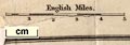
| scale line:- | 5 miles = 37.6 mm | |
| scale:- | 1 to 210000 ? (1 to 214009 from scale line) | |
|
||
| sources:- |
JandMN Collection Wordsworth Trust Collection |
|
| items seen (illustrated items in bold):- | ||

|
Dove Cottage : 2009.81.8 -- road map -- Map of the Lakes of Cumberland, Westmorland, and Lancashire | |
|
|
JandMN (57) -- road map -- Map of the Lakes of Cumberland, Westmorland, and Lancashire | |