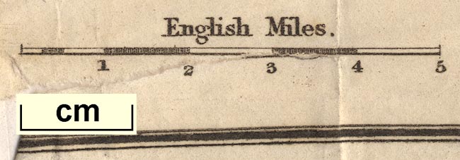
Map of the Lakes of Cumberland, Westmorland, and Lancashire, scale about 3.5 miles to 1 inch, perhaps by Edward Mogg, Charing Cross, London, 1822. (Mogg 1822 map)
Lakes Guides menu.
 Lakes Guides menu.