 English Lakes, The

|

|
|
|
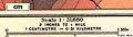
map type:- Mill and Heawood 1895 |
|
|
|
Series of maps of the English Lakes - Derwentwater;
Bassenthwaite Lake; Buttermere, Crummock Water, and
Ennerdale Water; Wastwater; Coniston Water; Ullswater and
Haweswater; and Windermere, scales about 2 inches to 1 mile,
with soundings by Hugh Robert Mill and Edward Heawood, by
Bartholomew, Edinburgh, Scotland, published by George Philip
and Son, 32 Fleet Street, London, etc, 1895.
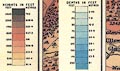
Tipped into The English Lakes, reprinted from an article, On the Bathymetrical Survey of the English Lakes, published in the Geographical Journal, vol.6 July, pp.46-73 and maps p.108, and vol.7 August, pp.135-166, maps p.204, 1895. Each map has depth contours in the lakes, and is accompanied by sections. Also a General Map of the Lake District, scale about 3 miles to 1 inch. |
||
| see:- | Mill 1895 | |
|
||
|
||
| sources:- |
Kendal Library |
|
| items seen (illustrated items in bold):- | ||

|
Kendal Library (7_1) -- map -- General Map of Lake District | |
|
|
Kendal Library (7_2) -- map -- Derwentwater | |
|
|
Kendal Library (7_3) -- map -- Bassenthwaite Lake | |
|
|
Kendal Library (7_4) -- map -- Buttermere, Crummock Water, and Ennerdale Water | |
|
|
Kendal Library (7_5) -- map -- Wastwater | |
|
|
Kendal Library (7_6) -- map -- Coniston Water | |
|
|
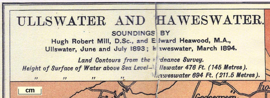
Kendal Library (7_7) -- map -- Ullswater and Haweswater | |
|
|
Kendal Library (7_8) -- map -- Windermere | |