 Kitchin's New and Instructive Traveller's
Companion
Kitchin's New and Instructive Traveller's
Companion

|

|
|
|
map type:- Kitchin 1771 |
|
|
|
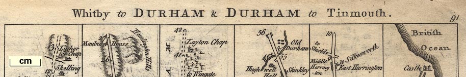
Road strip maps, with sections in Westmorland, Cumberland
etc, derived from maps by John Ogilby, 1675, published by
Thomas Kitchin, 59 Holborn Hill, London, 1771.
Published in a road book 'Ogilby's SURVEY Improv'd: OR Kitchin's New and Instructive Traveller's Companion, for the ROADS of ENGLAND and WALES. Laid down in a plain Intelligible manner, with all the TOWNS, VILLAGES, &c. thereon and the Distances in Single Miles on each Road. 1771. Printed for & Sold by T. Kitchin at No.59 Holborn Hill, London. ...' The book size is wxh = 20x15.5cm. The plates are amended and re-used by Carrington Bowles; see Bowles 1782, where the routes are more fully described. |
||

|
Bowles 1782 | |
| sources:- |
David Webb Collection |
|