 Railway Map of England and Wales

|

|
|
|
map type:- Johnston 1900s-10s |
|
|
|
Railway Map of England and Wales, or Map of the Railway
Systems of England and Wales, scale about 8 miles to 1 inch,
published by W and A K Johnston, Edina Works and 20 South
Saint Andrew Street, Edinburgh, Lothian and London,
1900s-10s?
|
||
|
(map example JandMN (29))
|
||
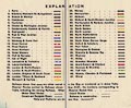
| map feature:- | sectioned for folding & mounted & card covers & up is N & scale line & lat and long scales & table of symbols (key to railway companies) & inset map (area enlargements) & sea plain & coast line & coast tinted & rivers & lakes & relief ( afew mountains in the Lake Dustrict etc) & hill hachuring & county & settlements (where there are stations) & railways & canals & shipping routes | |
| inscription:- |
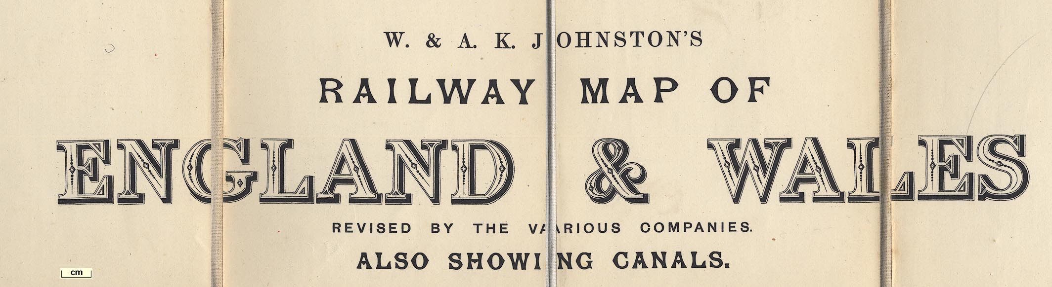
printed upper right
W. & A. K. JOHNSTON'S / RAILWAY MAP OF / ENGLAND & WALES / REVISED BY THE VARIOUS COMPANIES. / ALSO SHOWING CANALS. / ... / (SIXTH EDITION) |
|
| inscription:- |
embossed cover
W. & A. K. JOHNSTON'S / MAP OF THE / RAILWAY SYSTEMS / OF / ENGLAND & WALES / ALSO SHOWING / CANALS. gold on red |
|
| inscription:- |
printed bottom right
Printed by W. & A. K. Johnston Limited, Edinburgh & London. |
|
| scale line:- | 50+10 miles = 186.4 mm | |
| scale:- | 1 to 520000 ? (1 to 518029 from scale line) | |
| wxh, sheet:- | 114x131cm | |
| wxh, folded:- | 12x23cm | |

|
||
|
||
| sources:- |
JandMN Collection |
|
| items seen (illustrated items in bold):- | ||

|
JandMN (29) -- railway map -- Railway Map of England and Wales -- Map of the Railway Systems of England and Wales | |