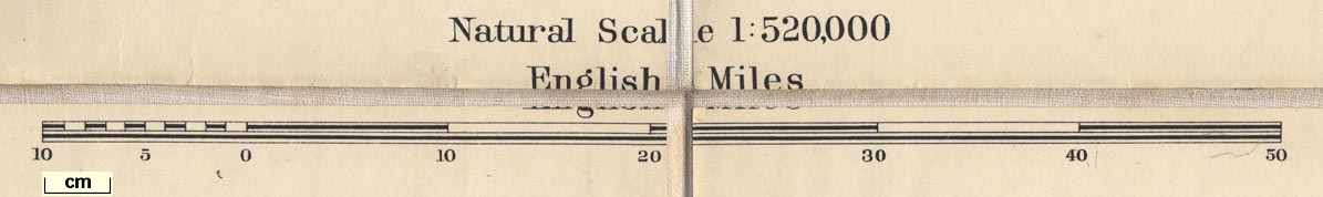
Railway Map of England and Wales, or Map of the Railway
Systems of England and Wales, scale about 8 miles to 1 inch,
published by W and A K Johnston, Edina Works and 20 South
Saint Andrew Street, Edinburgh, Lothian and London,
1900s-10s? (Johnston 1900s-10s)
 Lakes Guides menu.