 Plan of Kendal

|

|
|
|
map type:- Johnson 1832 |
|
|
|
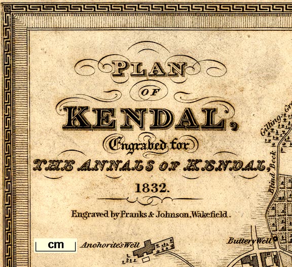
Town plan, Plan of Kendal, Westmorland, scale about 7.5
miles to 1 inch, drawn by G H Johnson, engraved by Franks
and Johnson, Wakefield, Yorkshire, published by Hudson and
Nicholson, Kendal, Westmorland, 1832.
An inset map is Kendale, copy from John Speed, 1614. The map was drawn for The Annals of Kendal, by Cornelius Nicholson. |
||
| see:- | Nicholson 1832 | |
|
(example private collection (125_1))
|
||
| map feature:- | mounted (linen) & folded (3, ie 2 folds) & greek key border & vignettes (Kendal Church) & compass rose & up is W & scale line & rivers & woods & trees & settlements & streets & roads & canals | |
| inscription:- |
printed upper left
PLAN / OF / KENDAL, / Engraved for / THE ANNALS OF KENDAL, / 1832 / Engraved by Franks & Johnson, Wakefield. |
|
| inscription:- |
printed upper centre of inset map on right
KENDALE / From Speed's / Topography / 1614. |
|
| inscription:- |
printed bottom left, centre
G. H. Johnson Delt. / Published by Hudson & Nicholson, Kendal. |
|
| wxh, sheet:- | 39.5x22cm | |
| wxh, map:- | 371x193mm | |
| scale:- | 1 to 8600 ? (1 to 8647 from scale line) | |
| inscription:- |
printed with scale line
SCALE OF YARDS. |
|
| scale line:- | 400 yards = 42.3 mm | |
|
||
| items seen (illustrated items in bold):- | ||

|
private collection (261_1) -- map -- Plan of Kendal | |