 Geological Map Illustrating the Lower Carboniferous Rocks of
the Kendal, Kirkby Lonsdale, Arnside and Eastern Portion of
the Grange Districts
Geological Map Illustrating the Lower Carboniferous Rocks of
the Kendal, Kirkby Lonsdale, Arnside and Eastern Portion of
the Grange Districts

|

|
|
|
map type:- Garwood 1913 |
|
|
|
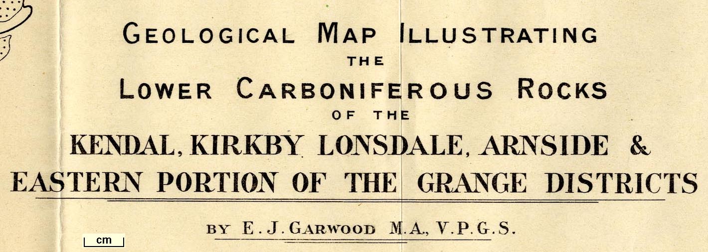
Geological Map Illustrating the Lower Carboniferous Rocks
of the Kendal, Kirkby Lonsdale, Arnside and Eastern Portion
of the Grange Districts, by E J Garwood, engraved by Weller
and Graham, published by the Geological Society of London,
1913.
Plate 54 in the Quarterly Journal of the Geological Society of London, vol.68. |
||
|
(example private collection (161_1))
|
||
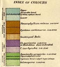
| map feature:- | folded (4x4) & up is N & scale line & sea plain & coast form lines & rivers & settlements & roads & geology & stratigraphical column | |
| inscription:- |
printed upper right
GEOLOGICAL MAP ILLUSTRATING / THE / LOWER CARBONIFEROUS ROCKS / OF THE / KENDAL, KIRKBY LONSDALE, ARNSIDE & / EASTERN PORTION OF THE GRANGE DISTRICTS / BY E. J. GARWOOD M.A., V.P.G.S. |
|
| inscription:- |
printed top right
Quart. Journ. Geol. Soc. Vol.LXVIII. Pl.LIV. |
|
| inscription:- |
printed bottom right
Weller & Graham Ltd. Litho. London |
|
| wxh, sheet:- | 40x64cm | |
| wxh, map:- | 364x575mm | |
| inscription:- |
printed with scale line
Scale of One Inch to One Mile |
|
| scale line:- | 4+1 miles = 126.0 mm | |
| scale 1 to 64000 ? (1 to 63863 from scale line):- | ||
|
||
|
||
| items seen (illustrated items in bold):- | ||

|
private collection (161_1) -- geological map -- Geological Map Illustrating the Lower Carboniferous Rocks of the Kendal, Kirkby Lonsdale, Arnside and Eastern Portion of the Grange Districts | |
|
|
private collection (161_2) -- geological map -- Geological Map Illustrating the Furness and Western Portion of the Grange Districts | |