 Map of the Furness Railway and Connections

|

|
|
|
map type:- Furness Railway 1900s |
|
|
|
Map of the Furness Railway and Connections, scale about 7
miles to 1 inch? by the Funress Railway, Cumbria, early 20th
century.
Included in a facsimile reproduction of The Illustrated Guide to the Holiday Resorts on the Furness Railway. |
||
|
example JandMN (215))
|
||
| map feature:- | table of symbols & north point & up is N & scale line & sea tinted & coast line & rivers & lakes & relief & hill hachuring & settlements & roads & railways | |
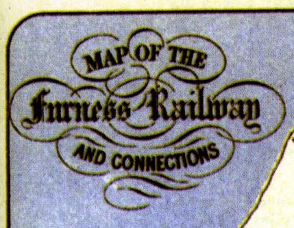
| inscription:- |
printed upper left
MAP OF THE / Furness Railway / AND CONNECTIONS |
|
| wxh, sheet:- | 21x28cm | |
| items seen (illustrated items in bold):- | ||

|
JandMN (215) -- railway map -- Map of the Furness Railway and Connections | |