 Fisher 1845

|

|
|
|
map type:- Fisher 1845 |
|
|
|
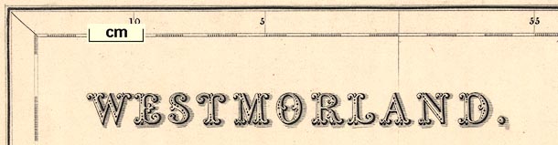
Maps, Westmorland, scale about 3.5 miles to 1 inch, and
Cumberland, scale about 5.5 miles to 1 inch, published by
Fisher, Son and Co, Caxton Press, Angel Street, St Martin's
le Grand, London, about 1845.
Published in 'Fisher's County Atlas of England and Wales. Compiled from authentic Surveys, and corrected to the present time. With a topographical and statistical description of each county ... Fisher, Son & Co., Caxton Press, Angel Street, St. Martin's-le-Grand, London; Post-Office Place, Liverpool; Piccadilly, Manchester.' in parts from 1842 to 1845. The atlas has title page, preface etc, and 48 maps accompanied by text; its size is 12 x 14 1/2 ins. Some of the maps in the atlas have the imprint 'Gilbert's County Atlas' suggesting that they came from an unfinished and unpublished earlier project. |
||
|
(map example JandMN (15))
|
||
| map feature:- | up is N & scale line & lat and long scales & sea plain & coast line & rivers & lakes & relief & hill hachuring & county & electoral data & settlements & roads & canals | |
| inscription:- |
printed upper left
WESTMORLAND |
|
| scale line:- | 10+1 miles = 83.3 mm | |
| scale:- | 1 to 210000 ? (1 to 212518 from scale line) | |
| wxh, map:- | 346x268mm | |

|
||

|
||
| references:- |
Fisher: 1842=1845: Fisher's County Atlas of England and
Wales: Fisher, Son and Co (London) |
|
| sources:- |
Chubb 1927 (DIV) JandMN Collection Armitt Library |
|
| items seen (illustrated items in bold):- | ||

|
Armitt Library : ALMC2008.14.100 -- map -- Westmorland | |
|
|
JandMN (15) -- map -- Westmorland | |
|
|
JandMN (125) -- map -- Cumberland | |