 Cruchley's Complete Railway and Station Map of England and
Wales
Cruchley's Complete Railway and Station Map of England and
Wales

|

|
|
|
map type:- Cruchley 1858 |
|
|
|
Railway maps, Cruchley's Complete Railway and Station Map
of England and Wales, scale about 2 miles to 1 inch,
published by G F Cruchley, 81 Fleet Street, London, 1858.
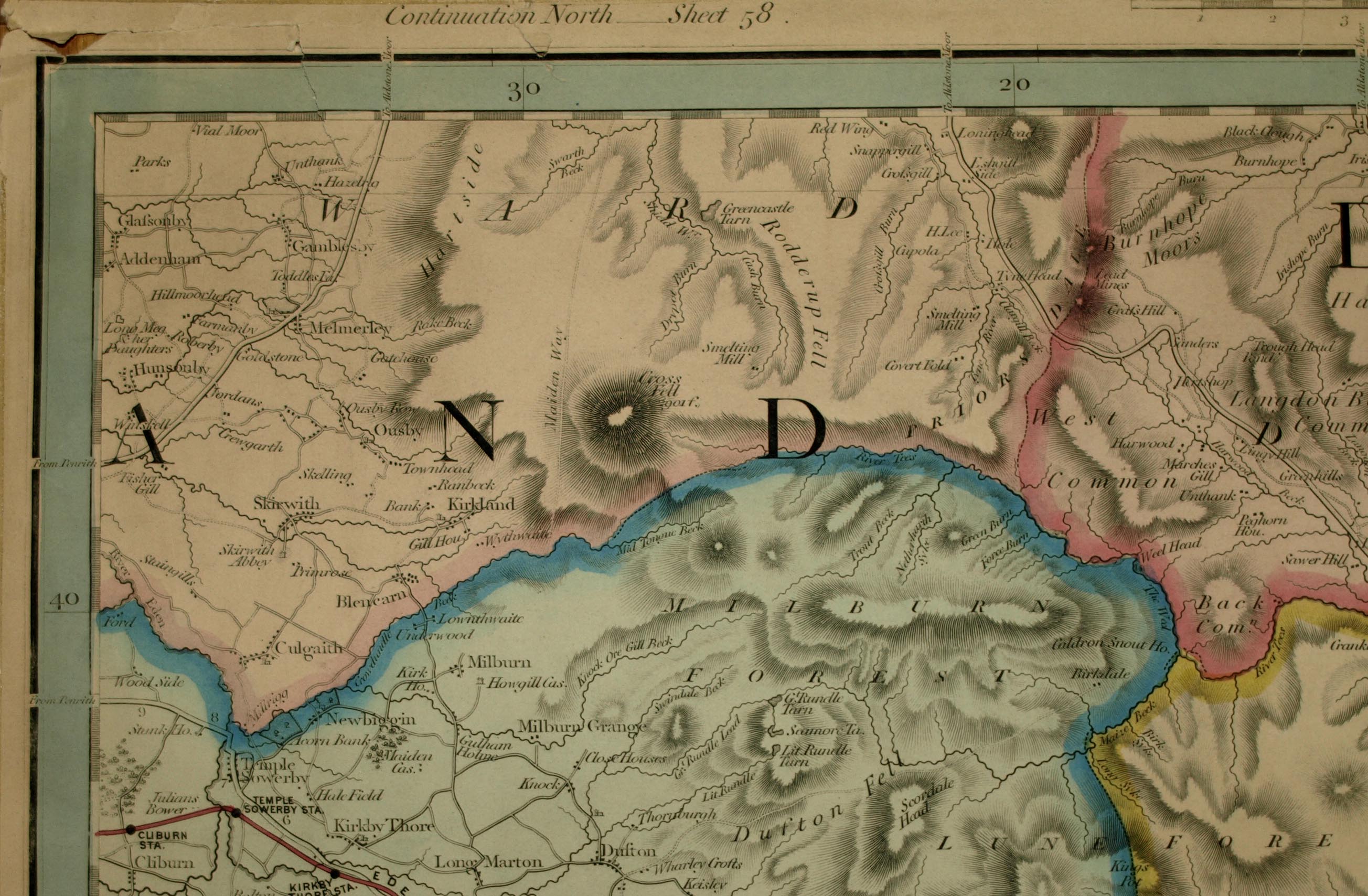
Which sheets cover Cumbria has not yet been discovered. Sheet 53 has parts of Westmorland, Cumberland, Yorkshire East Riding, Yorkshire North Riding, Durham and Northumberland. Printed outside the map borders are links to adjacent sheets, eg 'Continuation West sheet 52.', north is 58, east is 54, south is 48. |
||
|
(example Kendal Library : Map 155)
|
||
| map feature:- | up is N & scale line & lat and long scales & rivers & relief & hill hachuring & woods & forests & parks & county & settlements & roads & road distances & railways | |
| inscription:- |
printed bottom
[ ]E MAK[ER], 81 FLEET [S ] |
|
| wxh, sheet:- | 67x53cm | |
| wxh, map:- | 645x501mm | |
| inscription:- |
printed with scale line
Scale of Eng[lish Miles] |
|
| scale line:- | 20 miles = 251.9 mm | |
| scale:- | 1 to 130000 ? (1 to 127776 from scale line, assuming a statute mile) | |
| sources:- |
Kendal Library Maps British Library (Maps 53.f.3) |
|
| items seen (illustrated items in bold):- | ||

|
Kendal Library : Map 155 -- railway map | |