 Carlisle in the reign of Queen Elizabeth

|

|
|
|
map type:- Creighton 1889 map |
|
|
|
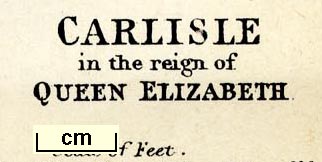
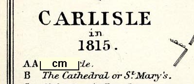
Maps, Carlisle in the reign of Queen Elizabeth, scale
about 17 inches to 1 mile, and Carlisle in 1815, scale about
10 inches to 1 mile, litho by E Weller, published by
Longmans and Co, London, 1889.
Included in Carlisle, by M Creighton, in the Historic Towns series, edited by Edward A Freeman and William Hunt, published by Longmans, Green, and Co, London, 2nd edn 1889. |
||
|
(example map JandMN (376_1))
|
||
| map feature:- | scale line & up is NW (roughly) & settlements & streets | |
| inscription:- |
printed lower right
CARLISLE / in the reign of / QUEEN ELIZABETH |
|
| inscription:- |
printed bottom right, centre
E. Weller litho. / London; Longmans & Co. |
|
| inscription:- |
printed with scale line
Scale of Feet. |
|
| wxh, sheet:- | 18x25cm | |
| wxh, map:- | 153x216mm | |
| scale line:- | 600 feet = 48.1 mm | |
| scale:- | 1 to 3800 ? (1 to 3802 from scale line) | |
|
||
|
||
| references:- |
Creighton, M & Freeman, Edward A (ed) & Hunt, William (ed):
1889 (2nd edn): Carlisle & Historic Towns (series):
Longmans, Green, and Co (London) |
|
| sources:- |
JandMN Collection |
|
| items seen (illustrated items in bold):- | ||

|
JandMN (376_1) -- map -- Carlisle in the reign of Queen Elizabeth | |
|
|
JandMN (376_2) -- map -- Carlisle in 1815 | |