 Collins 1849-52

|

|
|
|
map type:- Collins 1849-52 |
|
|
|
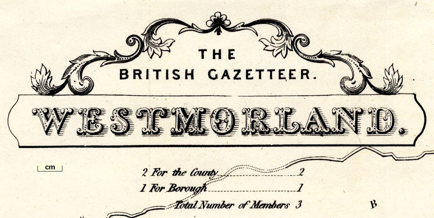
Maps, Westmorland, scale about 3 miles to 1 inch, and
Cumberland, scale about 4.5 miles to 1 inch, for The British
Gazetteer by Benjamin Clarke, published by Henry G Collins,
22 Paternoster Row, London, 1849-52.
The railways are boldly overprinted on an existing map. Published in '[The British Gazetteer, Political, Commercial, Ecclesiastical, and Historical, showing the Distances of each Place from London and Derby - Gentlemen's Seats - Populations ... Illustrated by a full Set of County Maps, &c.]' by Benjamin Clarke, published by Henry George Collins, 22 Paternoster Row, London, in parts 1849-52. The parts were bound up in 3 volumes, possibly with the maps bound separately in a 4th volume. |
||
|
(example Armitt Library : ALMC2008.14.108)
|
||
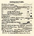
| map feature:- | decorative border & table of symbols & title cartouche & compass rose & up is N & scale line & lat and long scales (rectangular projection; W from Greenwich) & sea plain & coast line & rivers & lakes & relief & hill hachuring & forests & parks & county & wards & table of wards & electoral data & settlements & roads & road distances & distances from London & railways | |
| inscription:- |
printed title cartouche, upper left
THE / BRITISH GAZETTEER. / WESTMORLAND. |
|
| inscription:- |
printed bottom
London Published for the proprietors by H. G. Collins 22 Paternoster Row. |
|
| wxh, sheet:- | 45x37cm | |
| wxh, map:- | 42.5x35.5cm | |
| inscription:- |
printed with scale line
Scale. / Miles. |
|
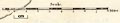
| scale line:- | 8+1 miles = 75.3 mm | |
| scale:- | 1 to 170000 ? (1 to 192392 from scale line assuming a statute mile) | |
|
||
|
||
| sources:- |
Armitt Library Carlisle Library Maps Kendal Library Maps |
|
| items seen (illustrated items in bold):- | ||

|
Armitt Library : ALMC2008.14.108 -- map -- Westmorland -- British Gazetteer, Westmorland | |
|
|
Carlisle Library : Map 156 -- map -- Cumberland -- British Gazetteer, Cumberland | |
|
|
Carlisle Library : Map 200 -- map -- Westmorland -- British Gazetteer, Westmorland | |
|
|
JandMN (234) -- railway map -- Northumberland with its Railways | |
|
|
Kendal Library : Map 77 -- map -- Westmorland -- British Gazetteer, Westmorland | |