
Collingwood 1899 map 2

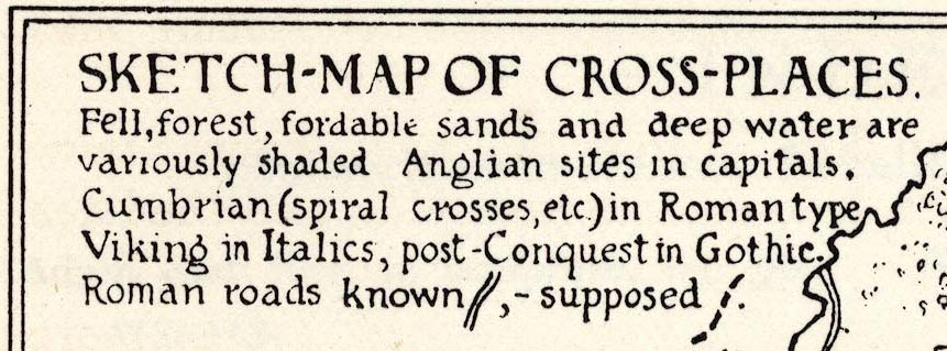
The maps shows the locations of anglian, viking, etc crosses, and known and supposed roman roads in Cumbria.
Included as p.309 in Notes on the Early Sulptured Crosses, Shrines and Monuments in the Present Diocese of Carisle, by Rev William Slater Calverley, edited by W G Collingwood.
SKETCH-MAP OF CROSS-PLACES / ...
W.G.C inv & delt. 1899

 Sketch Map of Cross Places