 Cary 1824

|

|
|
|
map type:- Cary 1824 |
|
|
|
Maps, A New Map of Westmoreland, scale about 2.5 miles to
1 inch, and A New Map of Cumberland, scale about 3.5 miles
to 1 inch, 1824, published by John Cary, 86 St James's
Street, London, 1829.
The maps were used by John Cary for William Smith's geological maps, 1824; the explanatory text for the geology remains on the map, but the geological areas are not coloured. |
||
|
(example Carlisle Library (24))
|
||
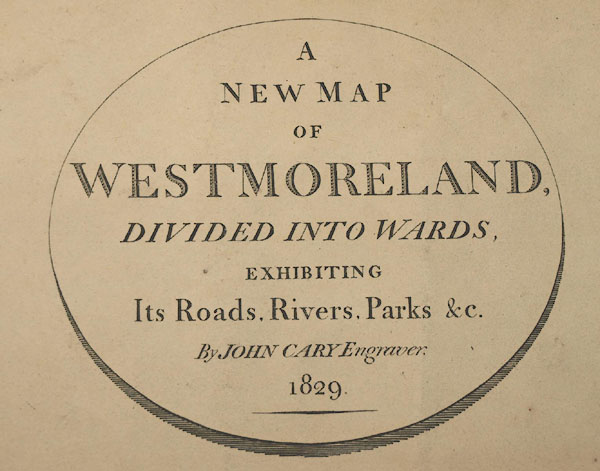
| inscription:- |
printed oval cartouche, lower right
A NEW MAP / OF / WESTMORELAND, / DIVIDED INTO WARDS, / EXHIBITING / Its Road, Rivers, Parks &c. / By JOHN CARY, Engraver. / 1829 |
|
| inscription:- |
printed bottom
London Published by J. Cary Engraver & Map-seller No.86 St. James's Street. |
|
| wxh, map:- | 534x479mm | |
| inscription:- |
printed with scale line
SCALE / Miles |
|
| scale line:- | 8 miles = 83.9 mm | |
| scale:- | 1 to 150000 ? (1 to 153454 from scale line, assuming a statute mile) | |
| sources:- |
Kendal Library Maps Carlisle Library Maps |
|
| items seen (illustrated items in bold):- | ||

|
Carlisle Library : Map 34 -- map -- New Map of Cumberland | |
|
|
Carlisle Library : Map 57 -- map -- New Map of Westmoreland | |
|
|
Kendal Library : Map 115 -- map -- New Map of Cumberland | |
|
|
Kendal Library : Map 123 -- map -- New Map of Westmoreland | |