 New Map of England and Wales

|

|
|
|
map type:- Brookes 1773 map |
|
|
|
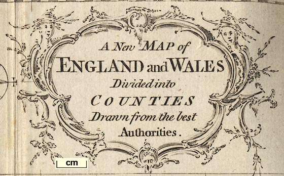
A New Map of England and Wales, scale about 60 miles to 1
inch, engraved by G Relles, inserted in Brookes's Gazetteer,
published London, 3rd edition, 1773.
|
||
|
(example map HMCMS:B2000.285.6)
|
||
| map feature:- | title cartouche & scroll cartouche & compass rose & scale line & lat and long scales & coast shaded & rivers & county & settlements | |
| inscription:- |
printed title cartouche
A New MAP of / ENGLAND and WALES / Divided into / COUNTIES / Drawn from the best / Authorities. |
|
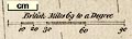
| scale line:- | 90 miles = 39.2 mm | |
| scale:- | 1 to 3700000 ? (1 to 3694922 from scale line assuming a modern mile) | |
| wxh, sheet:- | 32.5x21cm | |
| wxh, plate:- | 293x194mm (?) | |
| wxh, map:- | 287x192mm | |
|
||
| sources:- |
HMCMS Map Collection |
|
| items seen (illustrated items in bold):- | ||

|
Hampshire Museums : B2000.285.6 -- map -- New Map of England and Wales -- Brookes's Gazetteer | |