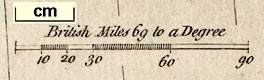
A New Map of England and Wales, scale about 60 miles to 1 inch, engraved by G Relles, inserted in Brookes's Gazetteer, published London, 3rd edition, 1773. (Brookes 1773 map)
Lakes Guides menu.
 Lakes Guides menu.