 General Plan of the Several Canals given in the Course of
this Magazine
General Plan of the Several Canals given in the Course of
this Magazine

|

|
|
|
map type:- Bowen 1773 |
|
|
|
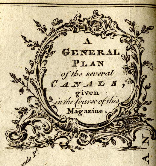
A General Plan of the Several Canals given in the Course
of this Magazine, engraved by Thomas Bowen, published by the
Gentleman's Magazine, 1773.
Tipped in opposite vol.43 p.221. The map includes England from Kendal in the north, St Asaph in the west, to just south of Reading. 'Explanation of the Letters in the Plan. / a b mark the Lancaster Canal 72 1/2 [Miles] ...' |
||
|
(example Armitt Library : Gents Mag 1773.1)
|
||
| map feature:- | baroque cartouche & compass rose & up is N & sea plain & coast form lines & rivers & county (some delimited) & settlements & canals | |
| inscription:- |
printed top
Gent. Mag. May 1773. |
|
| inscription:- |
printed upper right in baroque cartouche
A / GENERAL / PLAN / of the several CANALS / given / in the Course of this / Magazine |
|
| inscription:- |
printed bottom right
Thos. Bowen sculpt. |
|
| wxh, sheet:- | 25x21cm | |
| wxh, map:- | 205x174mm | |
| sources:- |
Armitt Library |
|
| items seen (illustrated items in bold):- | ||

|
Armitt Library : Gents Mag 1773.1 -- canal map -- General Plan of the Several Canals given in the Course of this Magazine | |